
National parks / Arches National Park
Arches National Park
National Park · UT · nps.gov →
About the park
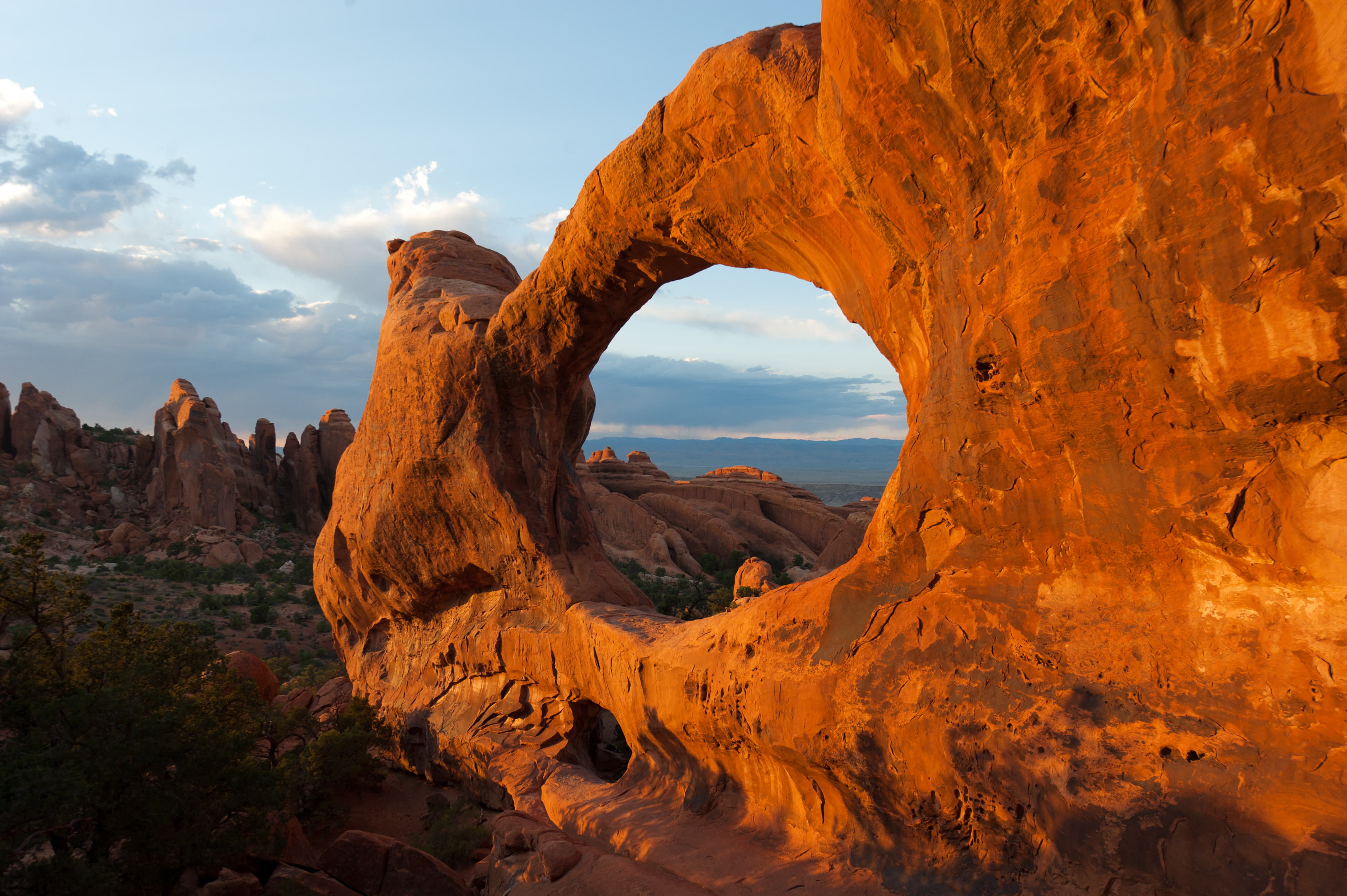
Discover a landscape of contrasting colors, land forms, and textures unlike any other. The park has over 2,000 natural stone arches, hundreds of soaring pinnacles, massive rock fins, and giant balanced rocks. This red-rock wonderland will amaze you with its formations, refresh you with its trails, and inspire you with its sunsets.
The Park Service's own description.
Weather, in the Park Service's words
Arches is part of the Colorado Plateau, a "high desert" region that experiences wide temperature fluctuations, sometimes over 40 degrees in a single day. The temperate (and most popular) seasons are spring (April-May) and fall (mid-September-October), when daytime highs average 60 to 80 F and lows average 30 to 50 F. Summer temperatures often exceed 100 F, making strenuous exercise difficult. Winters are cold, with highs averaging 30 to 50 F, and lows averaging 0 to 20 F.
Getting there
Arches National Park is located in southeast Utah, five miles north of Moab on US 191. From Moab, Utah, drive five miles north on Main Street/US 191. Turn right at the stoplight. From Interstate 70, take exit 182 (Crescent Junction), then drive south 28 miles on US 191. Turn left at the stoplight.
Entrance fees
- Entrance - Private Vehicle: $30.00 · Admits one private, non-commercial vehicle (15 passenger capacity or less) and all its occupants.
- Entrance - Motorcycle: $25.00 · Valid for 7 days. Admits up to 2 private, non-commercial motorcycles with up to 4 total passengers.
- Entrance - Per Person: $15.00 · Admits one individual with no car. Typically used for bicyclists, hikers, and pedestrians. Youth 15 and under are admitted free.
The America the Beautiful annual pass covers entrance at every park; it does not cover camping.
Hours
Arches National Park is generally open 24 hours a day, year-round. Fees apply. The park is very busy between March and October. To avoid traffic, we recommend entering the park before 8 am or after 3 pm.
Current alerts
No alerts posted by the park right now (fetched every three hours).
Camp index at the park
Now 54°F, feels like 54°F; tonight's low about 35°F; UV 0.2.
- Nothing in the forecast argues against a tent tonight
- Tonight's low about 35°F: a 30°F bag
Forecast for the park's reference point; valleys and ridges differ by thousands of feet. How the index works →
Campgrounds in the park (1)
Around the park
Camp set up before "dark by" is the rule most people learn once. Source: sunrise-sunset.org.
- DEVILS GARDEN CAMPGROUND · 4 mi · reservable on Recreation.gov
- Upper Big Bend Campground · 7 mi · first come, first served or not reservable online
- Big Bend Group Sites · 8 mi · reservable on Recreation.gov
- Courthouse Rock Campground · 8 mi · reservable on Recreation.gov
- Goose Island Campground · 8 mi · first come, first served or not reservable online
- Goose Island Group Sites · 8 mi · reservable on Recreation.gov
- Oak Grove Campground · 8 mi · first come, first served or not reservable online
- Hal Canyon Campground · 8 mi · first come, first served or not reservable online
- Grandstaff Campground · 8 mi · first come, first served or not reservable online
- Gold Bar Group Sites · 10 mi · reservable on Recreation.gov
Recreation.gov (RIDB): national forests, parks, BLM and Corps of Engineers sites with camping. State parks book through the state; the near-you pages list the rest from OpenStreetMap.
Tents in the shop
All tents → Made in the USA






Park text, alerts, campgrounds and images are the National Park Service's (public domain), fetched through its API; weather from MET Norway, alerts from the NWS, air quality from the EPA, fires from the interagency WFIGS feed, rivers from the USGS, tides from NOAA. Trail & Lantern adds the camp index and nothing else; none of this is safety advice. Check with the ranger station before you go.