
National parks / Bryce Canyon National Park
Bryce Canyon National Park
National Park · UT · nps.gov →
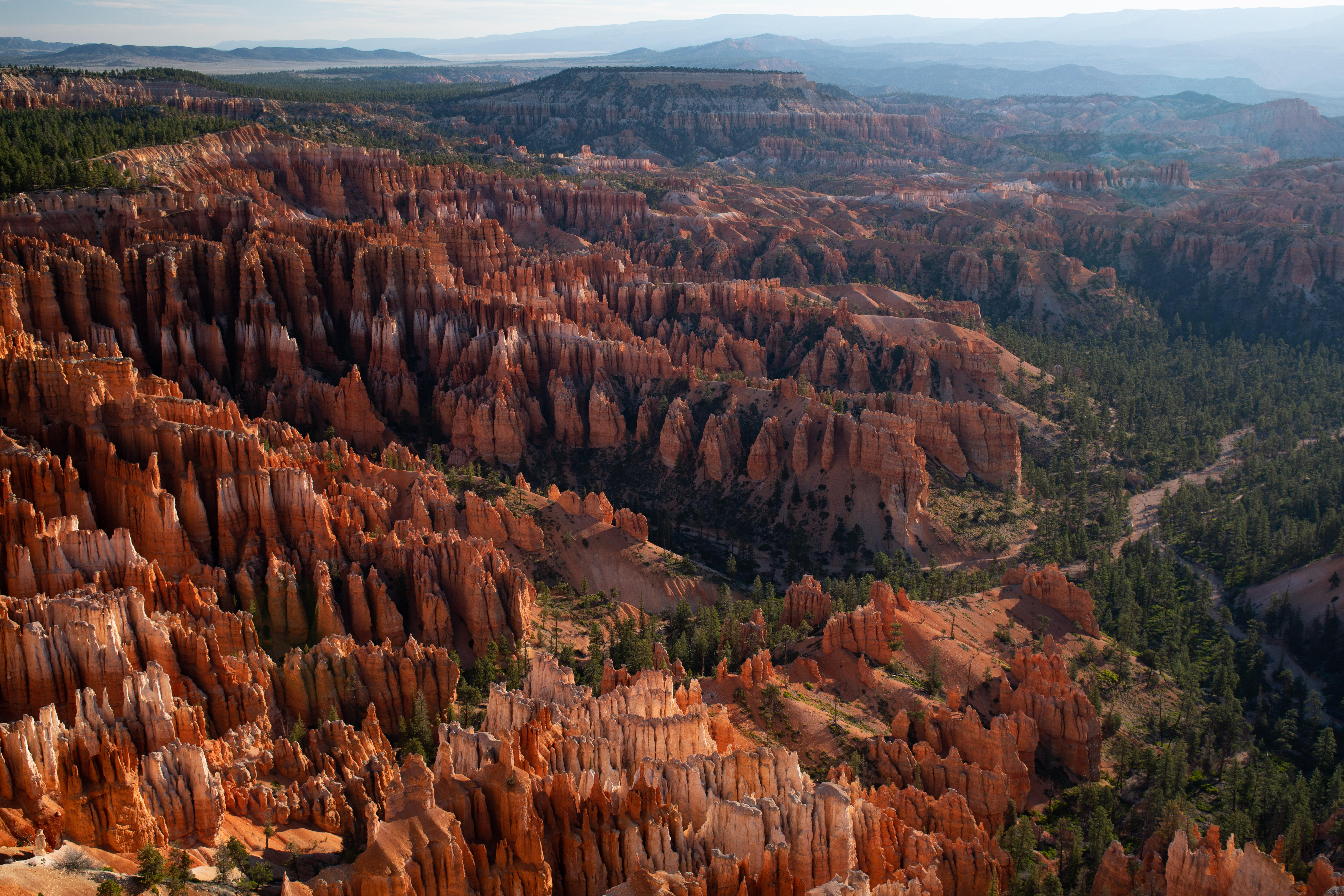
About the park
Hoodoos (irregular columns of rock) exist on every continent, but here is the largest concentration found anywhere on Earth. Situated along a high plateau at the top of the Grand Staircase, the park's high elevations include numerous life communities, fantastic dark skies, and geological wonders that defy description.
The Park Service's own description.
Weather, in the Park Service's words
Due of its high elevation climate, weather at Bryce Canyon through autumn, winter, and spring can be highly variable. From October to May temperatures fall below freezing nearly every night. The park typically experiences its coldest and snowiest periods from December through February. Spring storms in March and April can still produce heavy snowfall that may impact travel in the region. Summer highs are typically in the 70s-80s F and afternoon thunderstorms are common in July and August.
Getting there
From the North: Take I-15 south to UT-20 (exit 95). Travel east on UT-20 to US-89. Follow US-89 south to UT-12. Travel east on UT-12 to UT-63. Take UT-63 south to Bryce Canyon NP. From the South through Zion National Park: Take I-15 north to UT-9 (exit 16). Follow UT-9 east through Zion National Park to US-89. Travel north on US-89 to UT-12. Go east on UT-12 to UT-63. Take UT-63 south to Bryce Canyon NP. From the East Travel west on UT-12 to UT-63. Take UT-63 south to Bryce Canyon NP.
Entrance fees
- Entrance - Private Vehicle: $35.00 · Admits one private, non-commercial vehicle (15 passenger capacity or less) and all occupants.
- Entrance - Motorcycle: $30.00 · Valid for 7 days. Admits up to 2 private, non-commercial motorcycles with up to 4 total passengers.
- Entrance - Per Person: $20.00 · Admits one individual with no car to the park - typically used for bicyclists and walk-ins. Youth 15 and under are admitted free.
- Nonresident: $100.00 · Each non-US resident aged 16 and older visiting Bryce Canyon National Park must pay a $100 nonresident fee (in addition to the standard entrance fee), unless admitted with an Annual or America the Beautiful Pass. This includes nonresidents entering as part of a commercial tour group, commercial use
The America the Beautiful annual pass covers entrance at every park; it does not cover camping.
Hours
Bryce Canyon National Park is open 365 days a year, 24 hours a day.
Current alerts (3)
Park Closure · Trail Closure Due to Recent Weather
The Bryce Connector Trail (Bryce Point to Peekaboo Loop Trail) is closed until further notice. Other park trails are open, but hikers are urged to use caution. Freezing temperatures overnight can make rockfall more likely during the day.
Information · Dump Station Closed for Season
The dump station has closed due to early freezing temperatures. Please make other arrangements. Drinking fountains are also in the process of being winterized for the same reason. Please plan appropriately.
Caution · Current Fire Restrictions
Fires are only allowed in established fire pits.
Camp index at the park
Now 42°F, feels like 40°F; tonight's low about 32°F; UV 0.1.
- 42°F: cold; a 30°F bag and a pad with real insulation (R-value 3 or more)
- Tonight's low about 32°F: a 30°F bag
Forecast for the park's reference point; valleys and ridges differ by thousands of feet. How the index works →
Campgrounds in the park (2)
Around the park
Camp set up before "dark by" is the rule most people learn once. Source: sunrise-sunset.org.
- North Campground (UT) · 4 mi · reservable on Recreation.gov
- Sunset Campground (UT) · 4 mi · reservable on Recreation.gov
- KINGS CREEK · 5 mi · reservable on Recreation.gov
- PODUNK GUARD STATION · 9 mi · reservable on Recreation.gov
- Powell Ranger District · 9 mi · first come, first served or not reservable online
- PINE LAKE CAMPGROUND · 17 mi · reservable on Recreation.gov
- WHITE BRIDGE · 25 mi · reservable on Recreation.gov
Recreation.gov (RIDB): national forests, parks, BLM and Corps of Engineers sites with camping. State parks book through the state; the near-you pages list the rest from OpenStreetMap.
Tents in the shop
All tents → Made in the USA






Park text, alerts, campgrounds and images are the National Park Service's (public domain), fetched through its API; weather from MET Norway, alerts from the NWS, air quality from the EPA, fires from the interagency WFIGS feed, rivers from the USGS, tides from NOAA. Trail & Lantern adds the camp index and nothing else; none of this is safety advice. Check with the ranger station before you go.