
National parks / Canyonlands National Park
Canyonlands National Park
National Park · UT · nps.gov →
About the park
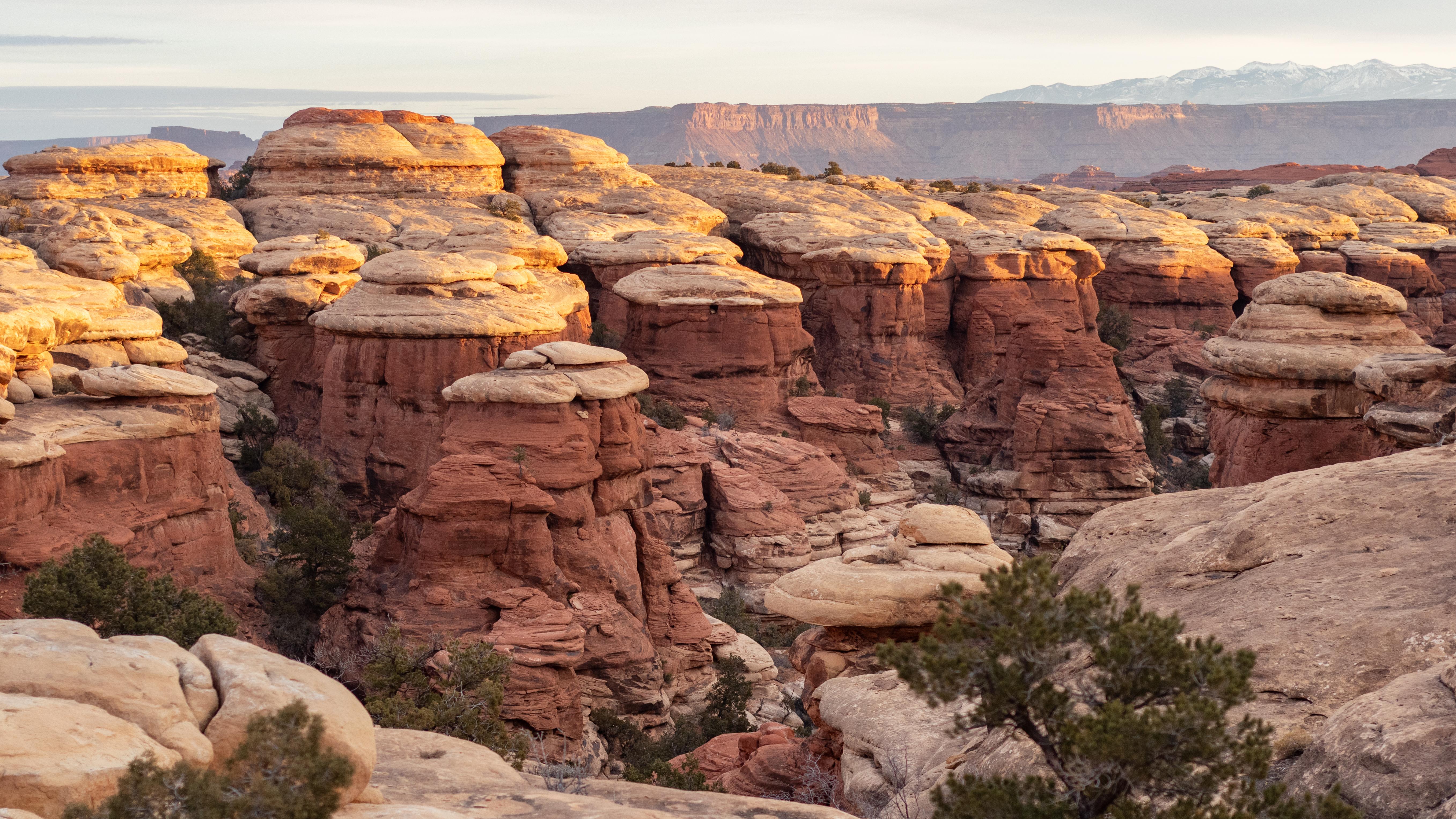
Canyonlands is a wilderness of canyons, buttes, and spires carved by the Colorado River and Green River. The park is divided into four distinct districts; no roads join them together. The districts share similar desert ecosystems, but each one provides unique opportunities for adventure and discovery.
The Park Service's own description.
Weather, in the Park Service's words
Canyonlands is part of the Colorado Plateau, a "high desert" region that experiences wide temperature fluctuations, sometimes over 40 degrees in a single day. The temperate (and most popular) seasons are spring (April-May) and fall (mid-September-October), when daytime highs average 60 to 80 F and lows average 30 to 50 F. Summer temperatures often exceed 100 F, making strenuous exercise difficult. Winters are cold, with highs averaging 30 to 50 F, and lows averaging 0 to 20 F.
Getting there
Canyonlands National Park is cut into three land districts by the Green and Colorado rivers. Island in the Sky, in the north of the park, is about 40 minutes from Moab, UT via UT 313. The Needles district is in the southeast corner of Canyonlands, about 90 minutes from Moab or an hour from Monticello, UT via UT 211. The Maze district, in the west of the park, is the most remote and challenging; its ranger station is down 46 miles of dirt road from UT 24. All roads in The Maze require high-clearance 4WD.
Entrance fees
- Entrance - Private Vehicle: $30.00 · Admits one private, non-commercial vehicle (15 passenger capacity or less) and all its occupants.
- Entrance - Motorcycle: $25.00 · Valid for 7 days. Admits up to 2 private, non-commercial motorcycles with up to 4 total passengers.
- Entrance - Per Person: $15.00 · Admits one individual with no car. Typically used for bicyclists, hikers, and pedestrians. Youth 15 and under are admitted free.
The America the Beautiful annual pass covers entrance at every park; it does not cover camping.
Hours
Canyonlands National Park is generally open 24 hours a day, year-round.
Current alerts (1)
Caution · Mineral Bottom and White Rim Road Remain Muddy in Parts, Not Recommended
The Mineral Bottom Road switchbacks and west side of the White Rim Road still have slippery and muddy sections due to recent rains. Travel is not recommended until the roads fully dry out. more →
Camp index at the park
Now 55°F, feels like 55°F; tonight's low about 39°F; UV 0.2.
- Nothing in the forecast argues against a tent tonight
- Tonight's low about 39°F: a 30°F bag
Forecast for the park's reference point; valleys and ridges differ by thousands of feet. How the index works →
Campgrounds in the park (3)
Around the park
Camp set up before "dark by" is the rule most people learn once. Source: sunrise-sunset.org.
- Canyonlands National Park Needles District Campground · 8 mi · reservable on Recreation.gov
- Indian Creek Falls Group Site · 11 mi · reservable on Recreation.gov
- Hamburger Rock Campground · 12 mi · reservable on Recreation.gov
- Creek Pasture Group Site · 14 mi · reservable on Recreation.gov
- Creek Pasture Campground · 15 mi · reservable on Recreation.gov
- Superbowl Campground · 16 mi · reservable on Recreation.gov
- Superbowl Group Site · 16 mi · reservable on Recreation.gov
- Hatch Point Campground · 17 mi · first come, first served or not reservable online
- The Ledge Campground · 22 mi · first come, first served or not reservable online
- The Ledge Group Sites · 22 mi · reservable on Recreation.gov
Recreation.gov (RIDB): national forests, parks, BLM and Corps of Engineers sites with camping. State parks book through the state; the near-you pages list the rest from OpenStreetMap.
Tents in the shop
All tents → Made in the USA






Park text, alerts, campgrounds and images are the National Park Service's (public domain), fetched through its API; weather from MET Norway, alerts from the NWS, air quality from the EPA, fires from the interagency WFIGS feed, rivers from the USGS, tides from NOAA. Trail & Lantern adds the camp index and nothing else; none of this is safety advice. Check with the ranger station before you go.