
National parks / Channel Islands National Park
Channel Islands National Park
National Park · CA · nps.gov →
About the park
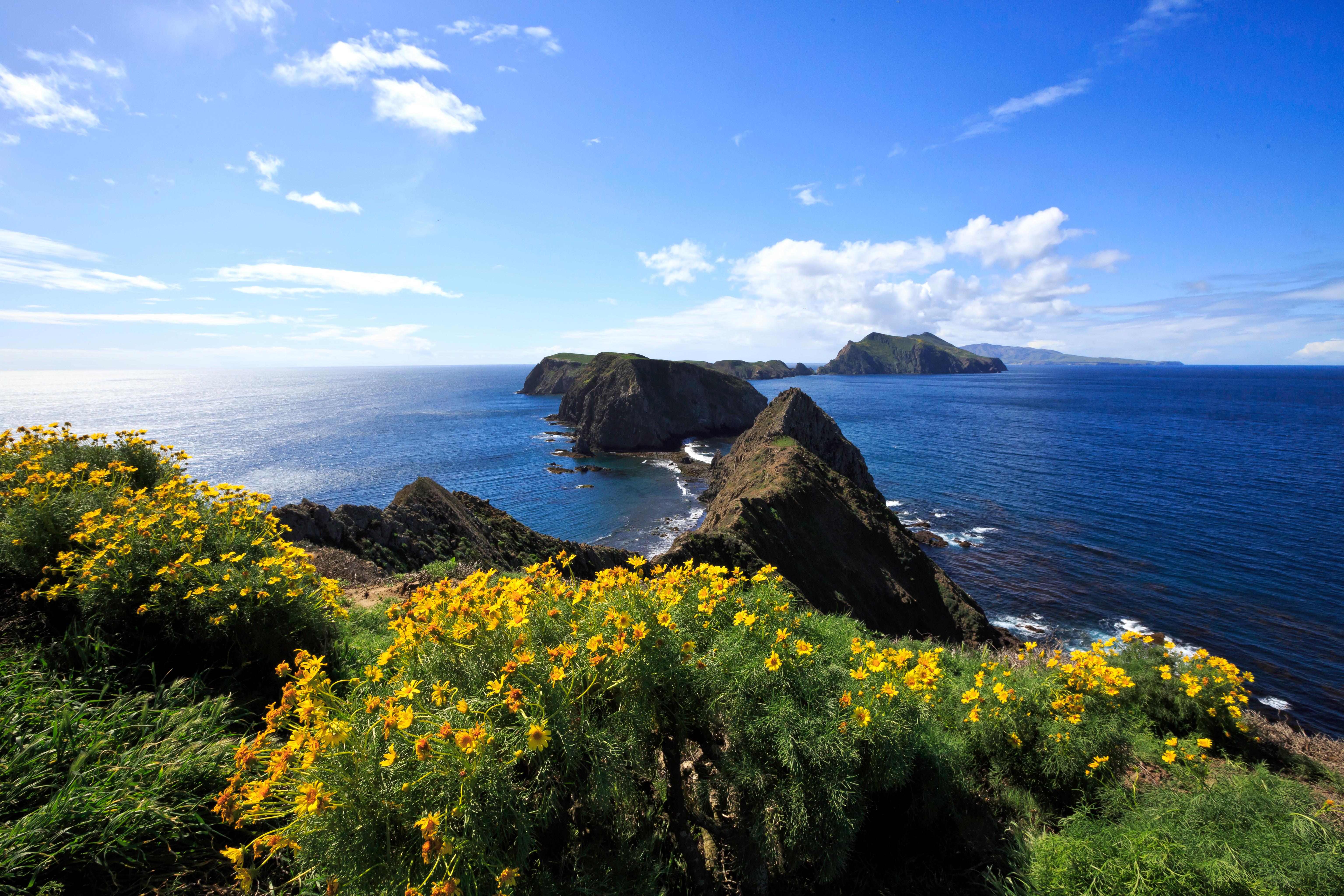
Channel Islands National Park encompasses five remarkable islands and their ocean environment, preserving and protecting a wealth of natural and cultural resources. Isolation over thousands of years has created unique animals, plants, and archeological resources found nowhere else on Earth and helped preserve a place where visitors can experience coastal southern California as it once was.
The Park Service's own description.
Weather, in the Park Service's words
In general, the islands have a Mediterranean climate year-round. Temperatures are relatively stable, with highs averaging in the mid-60s (°F) and lows in the low-50s. However, there are seasonal differences that visitors should take into consideration when visiting the park. In addition, visitors also should be aware that ocean and weather conditions vary considerably from day-to-day and island-to-island. For more information visit: http://www.nps.gov/chis/planyourvisit/weather.htm
Getting there
While the mainland visitor center in Ventura is readily accessible by car or public transportation, the islands are only accessible by park concessionaire boats and planes or private boat. Advanced planning is highly recommended.
Hours
The park is open 24 hours a day. Services and facilities have separate hours. Please see descriptions of those facilities elsewhere.
Current alerts (2)
Park Closure · Parts of Santa Rosa Island Closed During Wildfire Recovery
Burned areas on Santa Rosa Island remain closed. Backcountry beach camping in Southeast Quadrant will remain closed for the remainder of the 2026 recreation season. Click the more link for additional information. more →
Information · Santa Barbara Island Dock Closed; Landings Restricted to Adjacent Rocky Ledge
Santa Barbara Island is open to public access, but landings are restricted to the rocky ledge adjacent to the dock. The dock is closed and is not expected to be repaired in the near future due to the severe winter storm damage. more →
Camp index at the park
Now 66°F, feels like 66°F; tonight's low about 65°F; UV 0.3.
- Breezy (12 mph): a windscreen for the stove
- Tonight's low about 65°F: a summer bag or a quilt
Forecast for the park's reference point; valleys and ridges differ by thousands of feet. How the index works →
Campgrounds in the park (7)
Around the park
Camp set up before "dark by" is the rule most people learn once. Source: sunrise-sunset.org.
- SANTA ROSA ISLAND · 8 mi · reservable on Recreation.gov
- SANTA ROSA ISLAND BACKCOUNTRY BEACH CAMPING · 10 mi · reservable on Recreation.gov
- SANTA CRUZ ISLAND DEL NORTE BACKCOUNTRY · 14 mi · reservable on Recreation.gov
- SANTA CRUZ ISLAND SCORPION · 20 mi · reservable on Recreation.gov
Recreation.gov (RIDB): national forests, parks, BLM and Corps of Engineers sites with camping. State parks book through the state; the near-you pages list the rest from OpenStreetMap.
NOAA CO-OPS predictions, local time, feet above MLLW. Launch and land on a rising tide where there are mudflats; the station page has the full table.
Tents in the shop
All tents → Made in the USA






Park text, alerts, campgrounds and images are the National Park Service's (public domain), fetched through its API; weather from MET Norway, alerts from the NWS, air quality from the EPA, fires from the interagency WFIGS feed, rivers from the USGS, tides from NOAA. Trail & Lantern adds the camp index and nothing else; none of this is safety advice. Check with the ranger station before you go.