
National parks / Congaree National Park
Congaree National Park
National Park · SC · nps.gov →
About the park
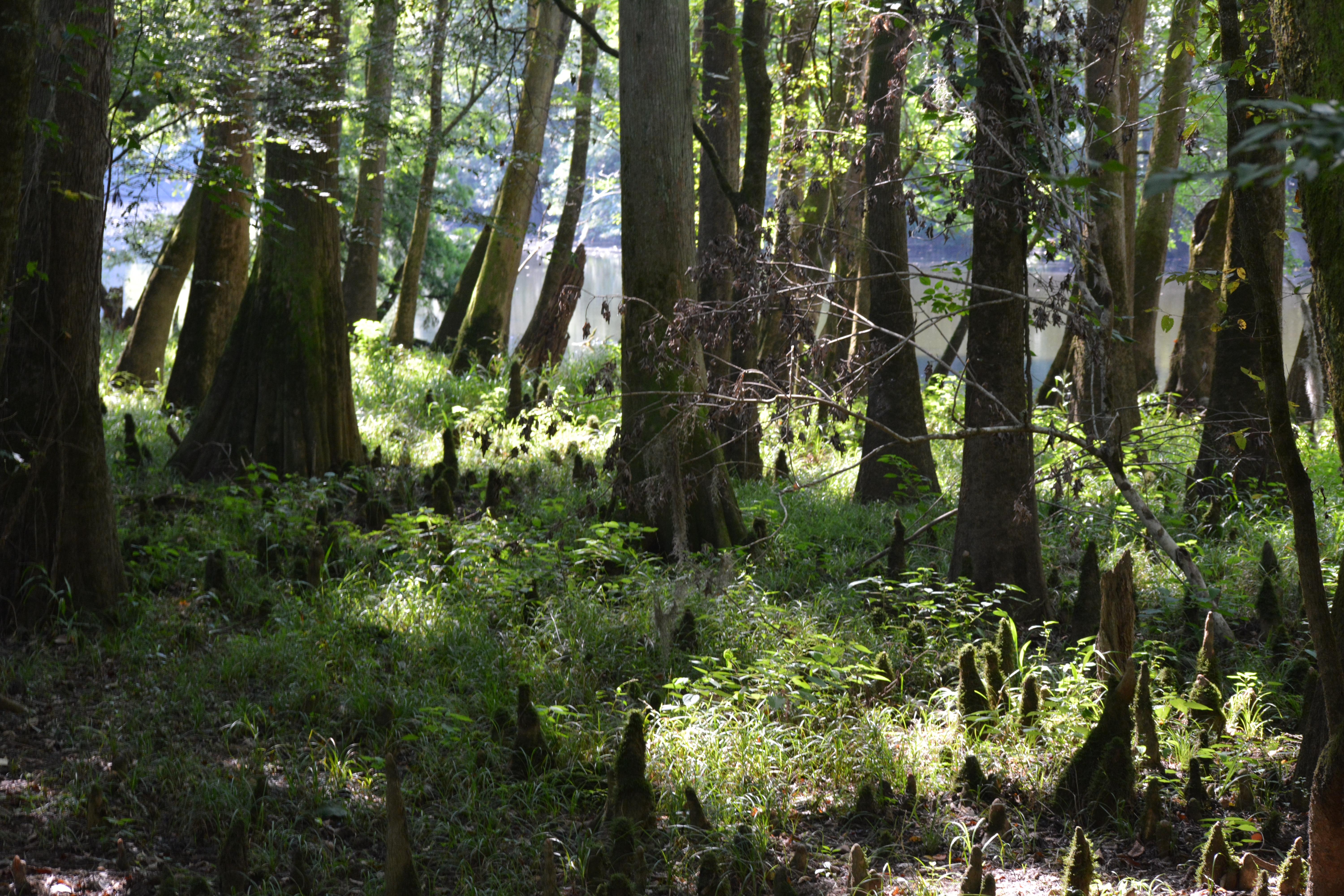
Astonishing biodiversity exists in Congaree National Park, the largest intact expanse of old growth bottomland hardwood forest remaining in the southeastern United States. Waters from the Congaree and Wateree Rivers sweep through the floodplain, carrying nutrients and sediments that nourish and rejuvenate this ecosystem and support the growth of national and state champion trees.
The Park Service's own description.
Weather, in the Park Service's words
Check the forecast before getting on the road. Conditions can change rapidly within the park. Flooding can happen with little or no warning, so make sure to check water levels for Cedar Creek and the Congaree River.
Getting there
From Interstate 77, Exit 5 At Exit 5 turn onto SC Hwy 48 East/Bluff Road. Following the brown and white "Congaree National Park" directional signs, travel approximately 8 miles on and then take a slight right onto Old Bluff Road. Follow Old Bluff Road for 4.5 miles to the park entrance sign, which will be on the right. Proceed one mile to the Harry Hampton Visitor Center. Parking lots will be on the right.
Hours
Congaree National Park is generally open 24 hours a day year-round. For visitor and staff safety, park operations and/or weather conditions may occasionally result in short term, temporary closures. Please review the park webpage and social media platforms for more information. The Harry Hampton Visitor Center is open 9-5, daily. It is closed New Year's Day, President's Day, Columbus Day, Thanks
Current alerts (5)
Information · Oversized Vehicle Parking Limited
The main parking area at the Harry Hampton Visitor Center has limited parking for larger vehicles. The lot can fill quickly, especially on weekends. If traveling in an RV or larger vehicle, we recommend arriving early in the day. Please be aware, turning around may be challenging… more →
Caution · Bridge K on Kingsnake Trail Out
Bridge K on Kingsnake Trail is currently out, awaiting replacement. Please use extreme caution if going around this bridge, as it crosses a slough. Water here may be 2-3 feet deep, or deeper. more →
Caution · Paddling Conditions
Trees down across Cedar Creek between Bannister's Bridge and South Cedar Creek may require significant portages depending on water levels & paddlers should plan accordingly. All paddlers should have necessary equipment, including the 10 Essentials.
Caution · Backcountry Trail Conditions
GPS is necessary on backcountry trails: Oakridge, Boggy Gut (formerly River), and Kingsnake. These trails may be difficult to follow.
Information · Planning Ahead for Transportation
If being dropped off at the park, please ensure you will have a return ride. Taxis and rideshares do not often come out to Congaree, and the bus may be unavailable. Please plan ahead. more →
Camp index at the park
Now 48°F, feels like 47°F; tonight's low about 39°F; UV 0.
- Nothing in the forecast argues against a tent tonight
- Tonight's low about 39°F: a 30°F bag
Forecast for the park's reference point; valleys and ridges differ by thousands of feet. How the index works →
Campgrounds in the park (2)
Around the park
Camp set up before "dark by" is the rule most people learn once. Source: sunrise-sunset.org.
- Bluff Hike In Camping · 5 mi · reservable on Recreation.gov
- Longleaf Campground · 5 mi · reservable on Recreation.gov
Recreation.gov (RIDB): national forests, parks, BLM and Corps of Engineers sites with camping. State parks book through the state; the near-you pages list the rest from OpenStreetMap.
Tents in the shop
All tents → Made in the USA






Park text, alerts, campgrounds and images are the National Park Service's (public domain), fetched through its API; weather from MET Norway, alerts from the NWS, air quality from the EPA, fires from the interagency WFIGS feed, rivers from the USGS, tides from NOAA. Trail & Lantern adds the camp index and nothing else; none of this is safety advice. Check with the ranger station before you go.