
National parks / Glacier Bay National Park & Preserve
Glacier Bay National Park & Preserve
National Park & Preserve · AK · nps.gov →
About the park
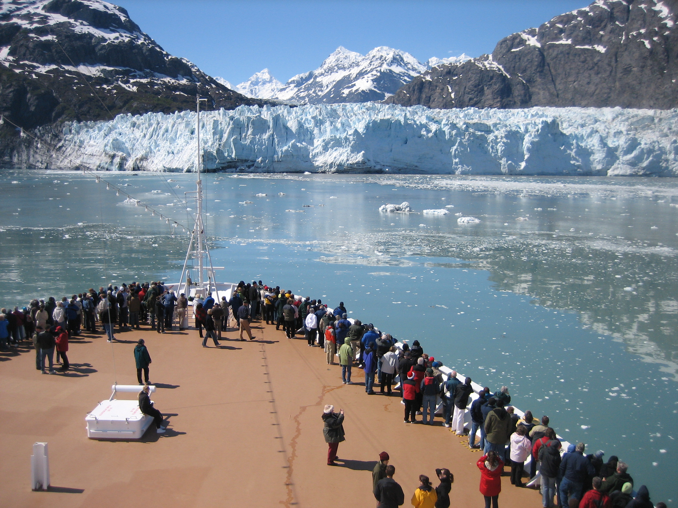
Covering 3.3 million acres of rugged mountains, dynamic glaciers, temperate rainforest, wild coastlines and deep sheltered fjords, Glacier Bay National Park and Preserve is known as Homeland to the Huna and Yakutat Lingít, and is a highlight of Alaska's Inside Passage. From sea to summit, Glacier Bay offers limitless opportunities for adventure and inspiration.
The Park Service's own description.
Weather, in the Park Service's words
Summer temperatures average 50° to 60° F (10° to 15° C). Rain is the norm in lush southeast Alaska. It is best to be prepared to enjoy the park in any kind of weather, especially rain. Suggested clothing includes waterproof boots, rain gear, a hat, gloves, wool or pile layers or a warm coat. Good rain gear is essential here. April, May and June are usually the driest months of the year. September and October tend to be the wettest.
Getting there
Glacier Bay National Park and Preserve lies west of Juneau, Alaska, and can only be reached by plane or boat. The only road in the area merely connects the small town of Gustavus and its airfield to park headquarters at Bartlett Cove (10 miles). Alaska Airlines provides daily jet service from Juneau to Gustavus in the summer months. Year-round scheduled air service is also provided by a variety of small air taxis and charters. The Alaska Marine Highway ferries also provide regular service from Juneau.
Hours
There are no entrance gates at Glacier Bay National Park, so we are technically open 24-hours a day; however, services may be extremely limited depending on the time of your visit. The main visitor season is from late-May through early-September with the peak being the month of July. Check the VISITOR CENTERS tab below to see hours for specific facilities, and read the exceptions that detail seas
Current alerts
No alerts posted by the park right now (fetched every three hours).
Camp index at the park
Now 30°F, feels like 29°F; tonight's low about 28°F; UV 0.1.
- 30°F: freezing; a 20°F bag, an insulated pad and a liquid-fuel or inverted-canister stove
- Rain (3.3 mm/h): rain fly on, tarp over the kitchen, boots under the vestibule
- Tonight's low about 28°F, 22.2 mm of rain overnight: a 20°F bag or warmer
Forecast for the park's reference point; valleys and ridges differ by thousands of feet. How the index works →
Campgrounds in the park (1)
Around the park
Camp set up before "dark by" is the rule most people learn once. Source: sunrise-sunset.org.
NOAA CO-OPS predictions, local time, feet above MLLW. Launch and land on a rising tide where there are mudflats; the station page has the full table.
Tents in the shop
All tents → Made in the USA






Park text, alerts, campgrounds and images are the National Park Service's (public domain), fetched through its API; weather from MET Norway, alerts from the NWS, air quality from the EPA, fires from the interagency WFIGS feed, rivers from the USGS, tides from NOAA. Trail & Lantern adds the camp index and nothing else; none of this is safety advice. Check with the ranger station before you go.