
National parks / Great Basin National Park
Great Basin National Park
National Park · NV · nps.gov →
About the park
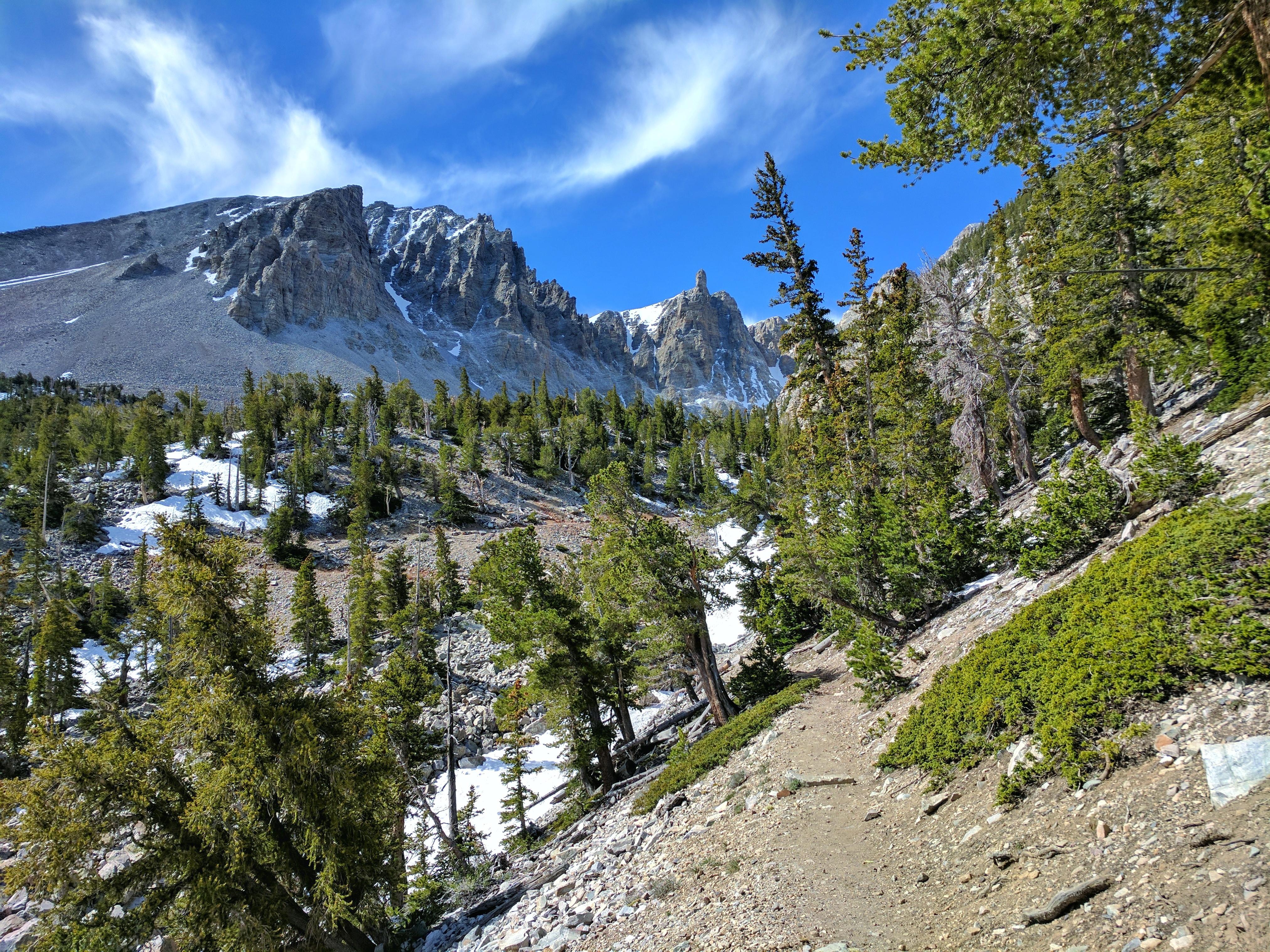
From the 13,063-foot summit of Wheeler Peak to the sagebrush-covered foothills, Great Basin National Park hosts a sample of the incredible diversity of the larger Great Basin region. Come and partake of the solitude of the wilderness, walk among ancient bristlecone pines, bask in the darkest of night skies, and explore mysterious subterranean passages. There's a lot more than just desert here.
The Park Service's own description.
Weather, in the Park Service's words
There is almost an 8,000 ft (2,400 m) difference in elevation between Wheeler Peak and the valley floor. Weather conditions in the park vary with elevation. In late spring and early summer, days in the valley may be hot, yet the snow pack may not have melted in the higher elevations. The Great Basin is a desert, with low relative humidity and sharp drops in temperature at night. In the summer, fierce afternoon thunderstorms are common. It can snow any time of the year at high elevations.
Getting there
From the East or West: From U.S. Highway 6 & 50, turn south on Nevada State Highway 487 and travel 5 miles to Baker, NV. In Baker turn west on Highway 488 and travel 5 miles to the park. From the South (Utah): Travel north on Utah State Highway 21 through Milford, UT and Garrison, UT, Highway 487. Turn west on Highway 488 in Baker and travel 5 miles to the park. From the South (Nevada): Travel north on U.S. Highway 93. No public transportation is available to, or in, Great Basin National Park.
Hours
Park Grounds and Trails Check "Visitor Centers" tab for facility-specific hours
Current alerts (3)
Park Closure · Prescribed Fire Area Closure - Baker Creek
Due to a prescribed burn in the area, the following areas are closed to public access: Pole Canyon, Timber Creek, Baker Creek, and Baker Lake. Call the park for up to date information.
Park Closure · Wheeler Peak Scenic Drive Winter Closure
Wheeler Peak Scenic Drive is closed to vehicle traffic at Osceola Ditch (4.5 miles up the road) for winter weather.
Information · No Potable Water in Park Campgrounds
There is no water available in any campground in Great Basin National Park. Water is available at the Great Basin Visitor Center and the Lehman Caves Visitor Center.
Camp index at the park
Now 38°F, feels like 35°F; tonight's low about 25°F; UV 0.4.
- 38°F: cold; a 30°F bag and a pad with real insulation (R-value 3 or more)
- Tonight's low about 25°F: a 20°F bag or warmer
Forecast for the park's reference point; valleys and ridges differ by thousands of feet. How the index works →
Campgrounds in the park (7)
Around the park
Camp set up before "dark by" is the rule most people learn once. Source: sunrise-sunset.org.
- Grey Cliffs Campground · 4 mi · reservable on Recreation.gov
- Burbank Hills One Day Ride · 16 mi · first come, first served or not reservable online
- Cleve Creek Campground · 24 mi · first come, first served or not reservable online
Recreation.gov (RIDB): national forests, parks, BLM and Corps of Engineers sites with camping. State parks book through the state; the near-you pages list the rest from OpenStreetMap.
| Gauge | Flow | Stage |
|---|---|---|
| LEHMAN CK NR BAKER 5 mi | 3.1 cfs | 3.84 ft |
| SHOSHONE POND WELL 2 OUTFLOW 9 mi | 0.02 cfs | 1.99 ft |
| CLEVE CK NR ELY 24 mi | 5.26 cfs | 1.23 ft |
| GEYSER CK AT SPGS ORIFICE NR MINERVA 29 mi | 0.36 cfs | 8.44 ft |
| STEPTOE CK NR ELY 29 mi | 2.38 cfs | 2.32 ft |
Discharge in cubic feet per second and gage height, from the USGS instantaneous-values service, usually within the hour. What a number means for wading or paddling depends on the river; the gauge page has the long-term median to compare against, and a sharp rise after rain is the sign to stay out.
Tents in the shop
All tents → Made in the USA






Park text, alerts, campgrounds and images are the National Park Service's (public domain), fetched through its API; weather from MET Norway, alerts from the NWS, air quality from the EPA, fires from the interagency WFIGS feed, rivers from the USGS, tides from NOAA. Trail & Lantern adds the camp index and nothing else; none of this is safety advice. Check with the ranger station before you go.