
National parks / Great Smoky Mountains National Park
Great Smoky Mountains National Park
National Park · NC, TN · nps.gov →
About the park
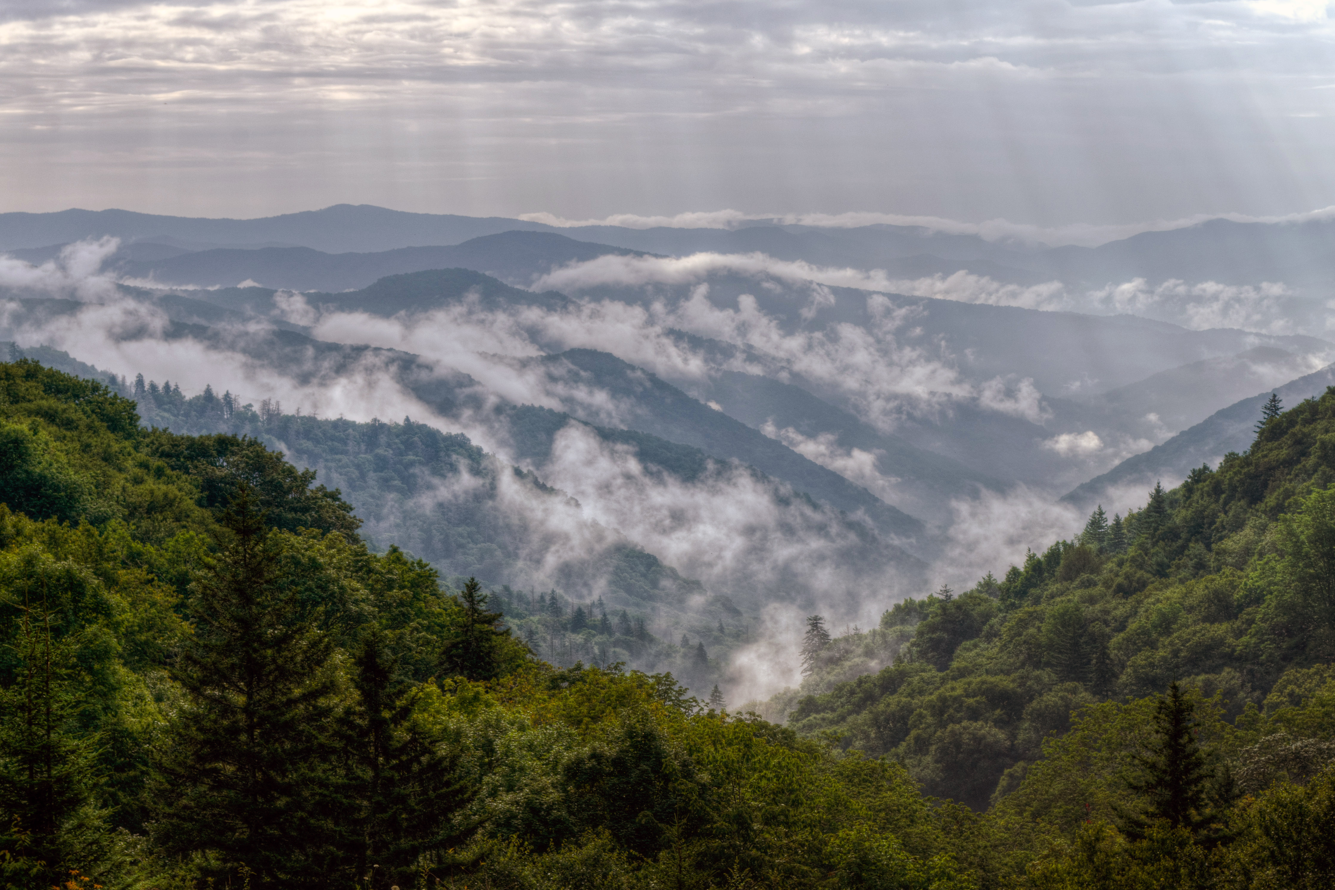
Ridge upon ridge of forest straddles the border between North Carolina and Tennessee in Great Smoky Mountains National Park. World renowned for its diversity of plant and animal life, the beauty of its ancient mountains, and the quality of its remnants of Southern Appalachian mountain culture, this is America's most visited national park. Plan your visit today!
The Park Service's own description.
Weather, in the Park Service's words
Elevations in the park range from approximately 875 feet (267 meters) to 6,643 feet (2,025 meters) and the topography can drastically affect local weather. Temperatures can vary by 10-20 degrees Fahrenheit from mountain base to top, and clear skies lower down do not guarantee equally pleasant weather at higher elevations.
Getting there
Great Smoky Mountains National Park straddles the borders of the states of Tennessee and North Carolina. The three main entrances to the park are in Gatlinburg, TN; Townsend, TN; and Cherokee, NC.
Hours
Primary roads are open 24 hours a day, seven days a week, year-round, weather permitting. This includes Newfound Gap Road (US-441), Little River Road, and Laurel Creek Road. Secondary roads are closed seasonally.
Current alerts (6)
Park Closure · Old Section Foothills Parkway West new section closed
Old Section Foothills Parkway West from Mile Marker 17-31 is closed due to hazardous weather conditions.
Park Closure · US 441 / Newfound Gap Road Closed
US-Highway 441/Newfound Gap Road from Gatlinburg, TN to Cherokee, NC is closed due to hazardous winter weather conditions. more →
Park Closure · Seasonal road closures
Heintooga Ridge Road, Parson Branch Road, and Rich Mountain Road are closed for the season. more →
Park Closure · Park Headquarters Road is closed
Park Headquarters Road is closed due to rehabilitation work on the Sugarlands water and wastewater systems.
Park Closure · Straight Fork and the one-way section of Balsam Mountain Road closed.
Straight Fork and the one-way section of Balsam Mountain Road (Heintooga Round-Bottom Road) are closed. more →
Information · Most visitors need a parking tag
All vehicles parking for longer than 15 minutes require a parking tag. Three tag durations are available for purchase for all vehicle sizes and types: Daily ($5), Weekly ($15), or Annual ($40). more →
Camp index at the park
Now 29°F, feels like 27°F; tonight's low about 27°F; UV 0.
- 29°F: freezing; a 20°F bag, an insulated pad and a liquid-fuel or inverted-canister stove
- Tonight's low about 27°F: a 20°F bag or warmer
Forecast for the park's reference point; valleys and ridges differ by thousands of feet. How the index works →
Campgrounds in the park (13)
Around the park
- Campbell - Glassman Way (TN) · 380 acres, 85% contained · 71 mi away · since 2026-11-08
Interagency (WFIGS) incident feed, fires over 100 acres, refreshed hourly. Smoke travels further than fire: the camp index shows the EPA air quality for the hour. Closures and evacuations come from the land agency, not this list; InciWeb has the incident pages.
Camp set up before "dark by" is the rule most people learn once. Source: sunrise-sunset.org.
- SPENCE CABIN · 5 mi · reservable on Recreation.gov
- APPALACHIAN CLUBHOUSE · 5 mi · reservable on Recreation.gov
- ELKMONT CAMPGROUND · 6 mi · reservable on Recreation.gov
- TWIN CREEKS PICNIC PAVILION · 6 mi · reservable on Recreation.gov
- ELKMONT GROUP CAMP · 6 mi · reservable on Recreation.gov
- METCALF BOTTOMS PICNIC PAVILION · 10 mi · reservable on Recreation.gov
- COLLINS CREEK PICNIC PAVILION · 10 mi · reservable on Recreation.gov
- GREENBRIER PICNIC PAVILION · 10 mi · reservable on Recreation.gov
- DEEP CREEK GROUP CAMP · 10 mi · reservable on Recreation.gov
- DEEP CREEK PICNIC PAVILION · 10 mi · reservable on Recreation.gov
Recreation.gov (RIDB): national forests, parks, BLM and Corps of Engineers sites with camping. State parks book through the state; the near-you pages list the rest from OpenStreetMap.
| Gauge | Flow | Stage |
|---|---|---|
| WEST PRONG LITTLE PIGEON R NR GATLINBURG 7 mi | 14.6 cfs | 2.66 ft |
| LITTLE RIVER ABOVE TOWNSEND 12 mi | 47.7 cfs | 1.31 ft |
| TUCKASEGEE RIVER AT BRYSON CITY 12 mi | 481 cfs | 1.87 ft |
| OCONALUFTEE RIVER AT BIRDTOWN 13 mi | 140 cfs | 1.12 ft |
| LITTLE TENNESSEE RIVER AT NEEDMORE 18 mi | 305 cfs | 1.99 ft |
| TUCKASEGEE RIVER AT BARKER'S CREEK 19 mi | 608 cfs | 3.99 ft |
Discharge in cubic feet per second and gage height, from the USGS instantaneous-values service, usually within the hour. What a number means for wading or paddling depends on the river; the gauge page has the long-term median to compare against, and a sharp rise after rain is the sign to stay out.
Tents in the shop
All tents → Made in the USA






Park text, alerts, campgrounds and images are the National Park Service's (public domain), fetched through its API; weather from MET Norway, alerts from the NWS, air quality from the EPA, fires from the interagency WFIGS feed, rivers from the USGS, tides from NOAA. Trail & Lantern adds the camp index and nothing else; none of this is safety advice. Check with the ranger station before you go.