
National parks / Grand Teton National Park
Grand Teton National Park
National Park · WY · nps.gov →
About the park
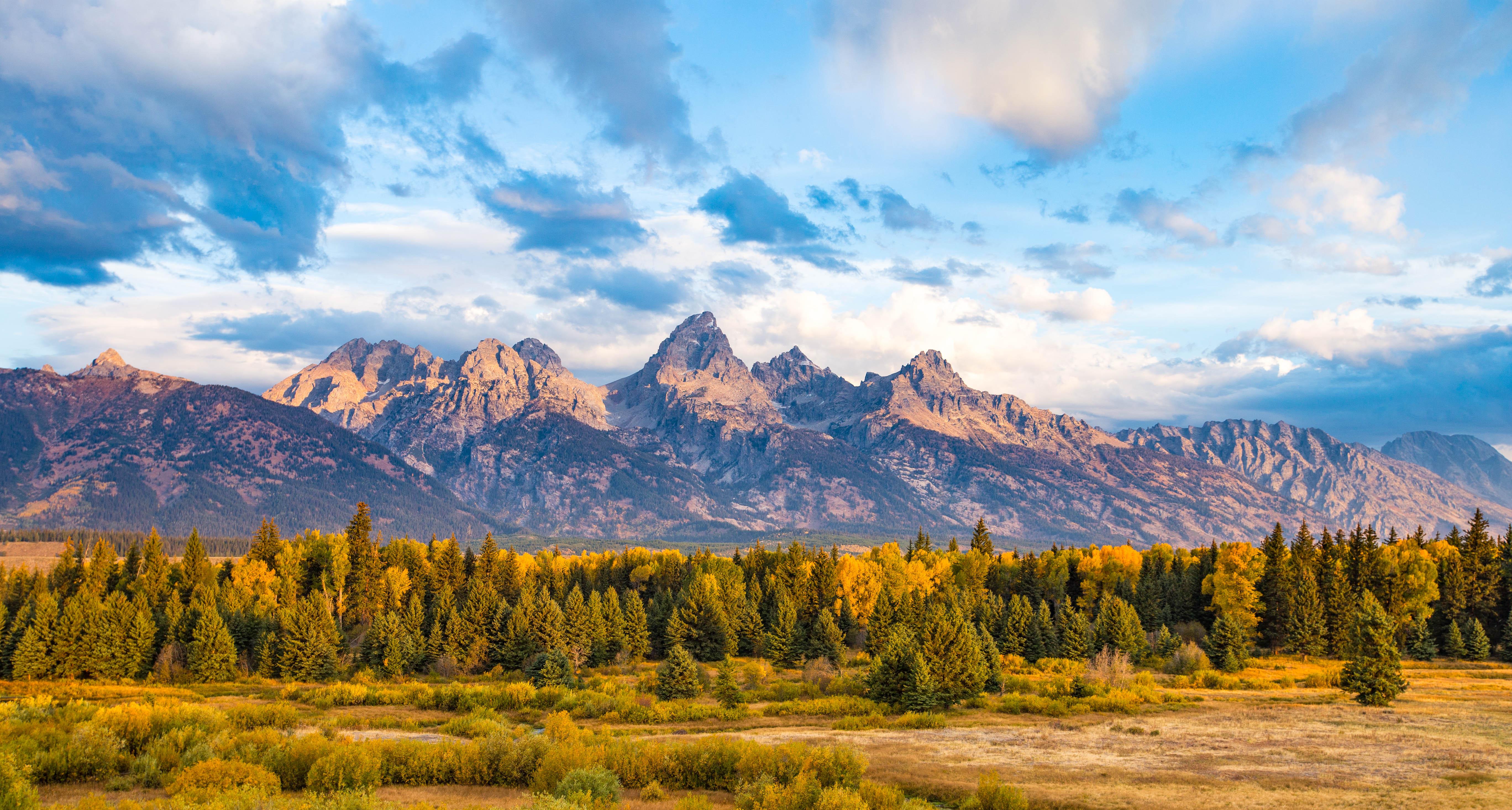
Soaring over a landscape rich with wildlife, pristine lakes, and majestic alpine vistas, the Teton Range stands as a testament to generations of stewards. For over 11,000 years, communities have thrived in the valley known as Jackson Hole, turning these mountains into more than just peaks—they embody imagination and enduring human connection.
The Park Service's own description.
Weather, in the Park Service's words
Grand Teton National Park has long, cold winters—snow and frost are possible any month. April, May, & June - Mild days and cool nights alternate with rain and snow. July & August - Warm days and cool nights prevail, with afternoon thundershowers common. September, October, & November - Sunny days and cold nights alternate with rain and occasional snowstorms. December to April - Between storms the days are sunny and nights are frigid. Snow blankets the mountains and valley.
Getting there
Grand Teton National Park is located in northwestern Wyoming; north of the town of Jackson, Wyoming and south of Yellowstone National Park. By car from Salt Lake City, Utah is approximately 300 miles and about 5-6 hours from the park and from Denver, Colorado is approximately 550 miles and about 8-10 hours from the park. Grand Teton National Park is unique in that it is the only national park that has a commercial airport within its border, Jackson Hole Airport (JAC). For current road info:
Entrance fees
- Entrance - Private Vehicle: $35.00 · Park entrance fee for 7 days for a private, non-commercial vehicle.
- Entrance - Motorcycle: $30.00 · Valid for 7 days. Admits up to 2 private, non-commercial motorcycles with up to 4 total passengers.
- Entrance - Per Person: $20.00 · Park entrance fee for 7 days for each visitor 16 years and older entering by foot, bicycle, ski, etc.
- Commercial Entrance - Sedan: $25.00 · A commercial tour is defined as consisting of one or more persons traveling on an itinerary that has been packaged, priced, or sold for leisure or recreational purposes by an organization that realizes financial gain through the provision of the service. The cost is $25 + $20 per person. Pass is g
- Commercial Entrance - Van: $125.00 · Based upon the total capacity of a vehicle that can carry 7-15 passengers, regardless of the actual number of passengers. A commercial tour is defined as consisting of one or more persons traveling on an itinerary that has been packaged, priced, or sold for leisure or recreational purposes by an o
- Commercial Entrance - Mini-bus: $200.00 · Based upon the total capacity of a vehicle that can carry 16-25 passengers, regardless of the actual number of passengers. A commercial tour is defined as consisting of one or more persons traveling on an itinerary that has been packaged, priced, or sold for leisure or recreational purposes by an
The America the Beautiful annual pass covers entrance at every park; it does not cover camping.
Hours
Visitors may enter the park at any time, but visitor services and motor vehicle access vary throughout the year.
Current alerts (4)
Caution · Construction in the South End of the Park
Cottonwood Creek picnic area closed. Mormon Row area open with some construction activity and viewshed impacts. more →
Information · Plan Ahead for 2027 Construction
Plan ahead for construction in 2027. Check road construction and park construction pages for more information. more →
Caution · Construction on HWY 26/89/191
Construction taking place on US HWY 26/89/191 south of Moran Junction. Expect 20-minute delays in both directions. more →
Information · Winter Seasonal Road Closures
Portions of the Teton Park Road (Taggart Lake TH to Signal Mt.), Moose-Wilson Road (Granite Canyon TH to Death Canyon Road), and other roads are closed to vehicles. Check the Grand Teton Roads page for the latest seasonal and weather related closures. When free of snow, Teton Par… more →
Camp index at the park
Now 42°F, feels like 40°F; tonight's low about 32°F; UV 0.1.
- 42°F: cold; a 30°F bag and a pad with real insulation (R-value 3 or more)
- Tonight's low about 32°F: a 20°F bag or warmer
Forecast for the park's reference point; valleys and ridges differ by thousands of feet. How the index works →
Campgrounds in the park (8)
Around the park
Camp set up before "dark by" is the rule most people learn once. Source: sunrise-sunset.org.
- Signal Mountain Campground · 5 mi · reservable on Recreation.gov
- Colter Bay Marina End Ties · 7 mi · reservable on Recreation.gov
- Colter Bay RV Park · 7 mi · reservable on Recreation.gov
- Colter Bay Tent Village · 7 mi · reservable on Recreation.gov
- Colter Bay Campground · 7 mi · reservable on Recreation.gov
- TETON CANYON · 11 mi · reservable on Recreation.gov
- Lizard Creek Campground · 13 mi · reservable on Recreation.gov
- REUNION FLAT · 13 mi · reservable on Recreation.gov
- Gros Ventre Campground · 14 mi · reservable on Recreation.gov
- Blackrock Ranger District · 18 mi · first come, first served or not reservable online
Recreation.gov (RIDB): national forests, parks, BLM and Corps of Engineers sites with camping. State parks book through the state; the near-you pages list the rest from OpenStreetMap.
| Gauge | Flow | Stage |
|---|---|---|
| SNAKE RIVER NEAR MORAN 7 mi | 273 cfs | 2.29 ft |
| Pacific Creek at Moran 10 mi | 46 cfs | 4.21 ft |
| SNAKE RIVER AT MOOSE 11 mi | 858 cfs | 8.86 ft |
| BUFFALO FORK AB LAVA CREEK, NR MORAN 13 mi | 165 cfs | 0.92 ft |
| GROS VENTRE RIVER AT KELLY 14 mi | 230 cfs | 3.94 ft |
| GRANITE C AB GRANITE C SUPPLEMENTAL, NR MOOSE 16 mi | 10.2 cfs | 3.72 ft |
Discharge in cubic feet per second and gage height, from the USGS instantaneous-values service, usually within the hour. What a number means for wading or paddling depends on the river; the gauge page has the long-term median to compare against, and a sharp rise after rain is the sign to stay out.
Tents in the shop
All tents → Made in the USA






Park text, alerts, campgrounds and images are the National Park Service's (public domain), fetched through its API; weather from MET Norway, alerts from the NWS, air quality from the EPA, fires from the interagency WFIGS feed, rivers from the USGS, tides from NOAA. Trail & Lantern adds the camp index and nothing else; none of this is safety advice. Check with the ranger station before you go.