
National parks / Guadalupe Mountains National Park
Guadalupe Mountains National Park
National Park · TX · nps.gov →
About the park
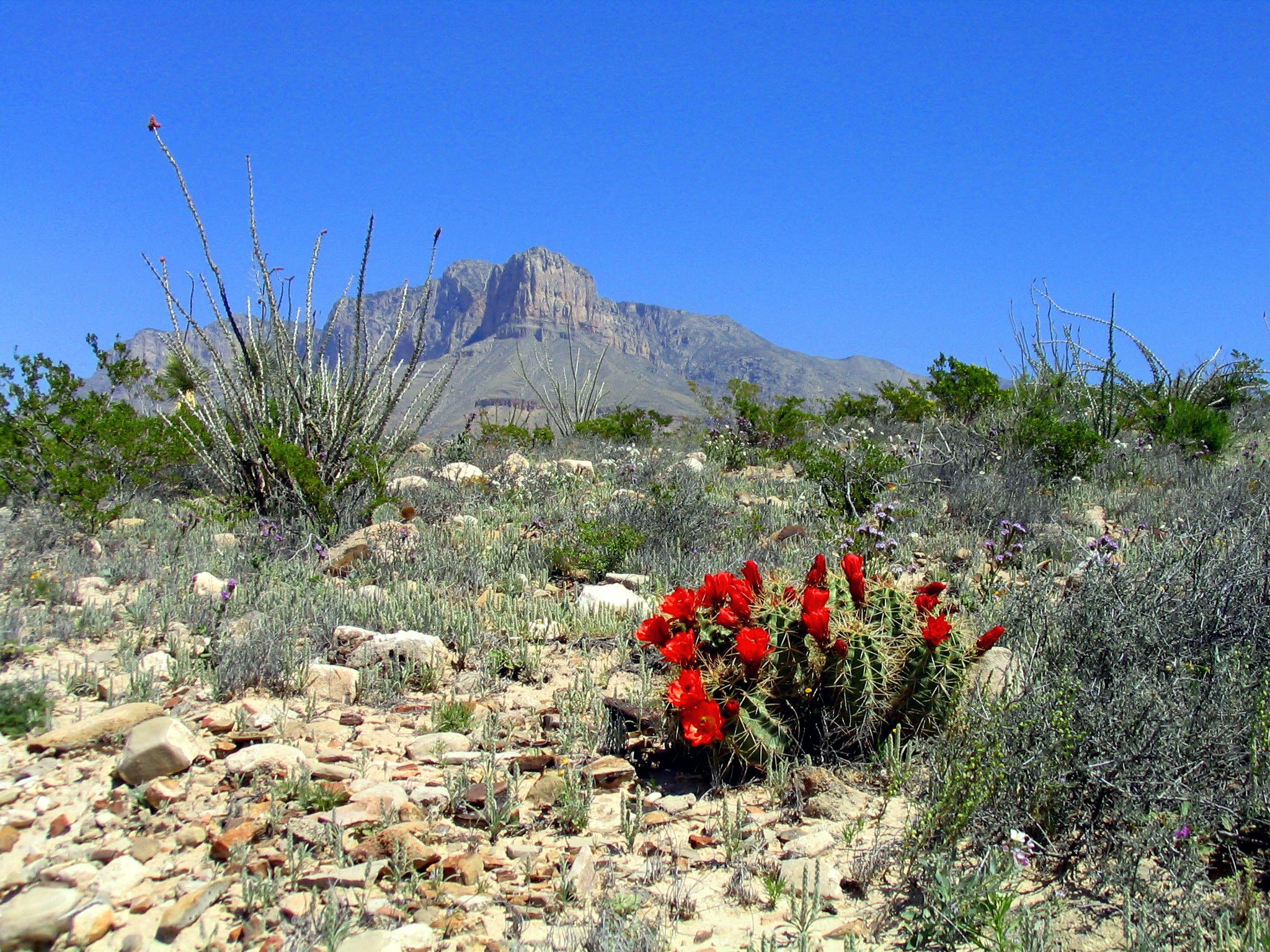
Come experience mountains and canyons, desert and dunes, night skies and spectacular vistas within a place unlike any other. Guadalupe Mountains National Park protects the world's most extensive Permian fossil reef, the four highest peaks in Texas, an environmentally diverse collection of flora and fauna, and the stories of lives shaped through conflict, cooperation and survival.
The Park Service's own description.
Weather, in the Park Service's words
The Guadalupe Mountains are known for high winds year-round; gusts can reach 60MPH or higher. In winter the mountains experiences occasional, light snowfalls which seldom last more than a day. From May through October, temperatures vary with highs between 80F-100F+ with lows in the 40F-60F range. November to April is generally milder with highs in between 50F-70F with lows in the 30F-50F range. Elevations above 8,000’ will be about 10F cooler than headquarters, with corresponding wind-chill.
Getting there
Guadalupe Mountains National Park is located on the north side of US Hwy 62/180. If you are traveling east from El Paso, TX, we are 110 miles East of the city. Follow US Hwy 62/180 North to the Pine Springs Visitor Center. If you are traveling from Van Horn, TX, you will travel north on US 54 and make a right-hand turn at the junction of US 62/180 to arrive at the park. If you are traveling west from Carlsbad, NM, you will travel on US Hwy 62/180 South and cross into Texas. Follow signs to the park.
Entrance fees
- Entrance - Per Person: $10.00 · An entrance fee of $10 per person (16 years of age and older) is required; entrance fees/passes permit 1-7 consecutive days of use in this national park. Holders of the Annual, Senior, Military, 4th grade and Access Pass can bring in 3 adults free of charge under their pass. Any pass must be display
- Entrance - Education/Academic Groups: $0.00 · Entrance fee waivers are available to groups when the purpose of their visit is educational rather than recreational. Completed applications along with required documentation must be submitted via email. Fee waiver requests must be submitted at least six weeks before a scheduled visit to allow for
The America the Beautiful annual pass covers entrance at every park; it does not cover camping.
Hours
The Pine Springs area, including the campground, visitor center, trailhead, and associated parking areas are open and accessible all of the time during normal operations. Camping is permitted in designated campsites only.
Current alerts (2)
Information · Park Store To Go Cashless
Starting August 14th, 2025 the park store will go cashless. All major credit cards, debit cards and mobile electronic payments will be accepted.
Caution · Devil's Hall is a Strenuous Hike
The hike to Devil's Hall is rated as strenuous. The portion of the route in the wash requires rock scrambling and is dangerous when wet or if water is present. The wash surface is loose gravel and rocks and may be unstable. more →
Camp index at the park
Now 50°F, feels like 50°F; tonight's low about 36°F; UV 0.1.
- Breezy (13 mph): a windscreen for the stove
- Tonight's low about 36°F: a 30°F bag
Forecast for the park's reference point; valleys and ridges differ by thousands of feet. How the index works →
Campgrounds in the park (13)
Around the park
Camp set up before "dark by" is the rule most people learn once. Source: sunrise-sunset.org.
- Pine Springs Campground · 4 mi · reservable on Recreation.gov
- Frijole Horse Corral Campground · 5 mi · reservable on Recreation.gov
- Dog Canyon Campground · 6 mi · reservable on Recreation.gov
Recreation.gov (RIDB): national forests, parks, BLM and Corps of Engineers sites with camping. State parks book through the state; the near-you pages list the rest from OpenStreetMap.
| Gauge | Flow | Stage |
|---|---|---|
| Delaware RV at RM 652 nr Orla 31 mi | – | 8.17 ft |
| DARK CANYON DRAW NEAR WHITES CITY 40 mi | 0 cfs | 3.52 ft |
| ROCKY ARROYO AT HWY BRD NR CARLSBAD 50 mi | 0 cfs | 3.22 ft |
| PECOS R AT DAMSITE 3 NR CARLSBAD 52 mi | 298 cfs | 2.34 ft |
Discharge in cubic feet per second and gage height, from the USGS instantaneous-values service, usually within the hour. What a number means for wading or paddling depends on the river; the gauge page has the long-term median to compare against, and a sharp rise after rain is the sign to stay out.
Tents in the shop
All tents → Made in the USA






Park text, alerts, campgrounds and images are the National Park Service's (public domain), fetched through its API; weather from MET Norway, alerts from the NWS, air quality from the EPA, fires from the interagency WFIGS feed, rivers from the USGS, tides from NOAA. Trail & Lantern adds the camp index and nothing else; none of this is safety advice. Check with the ranger station before you go.