
National parks / Hot Springs National Park
Hot Springs National Park
National Park · AR · nps.gov →
About the park
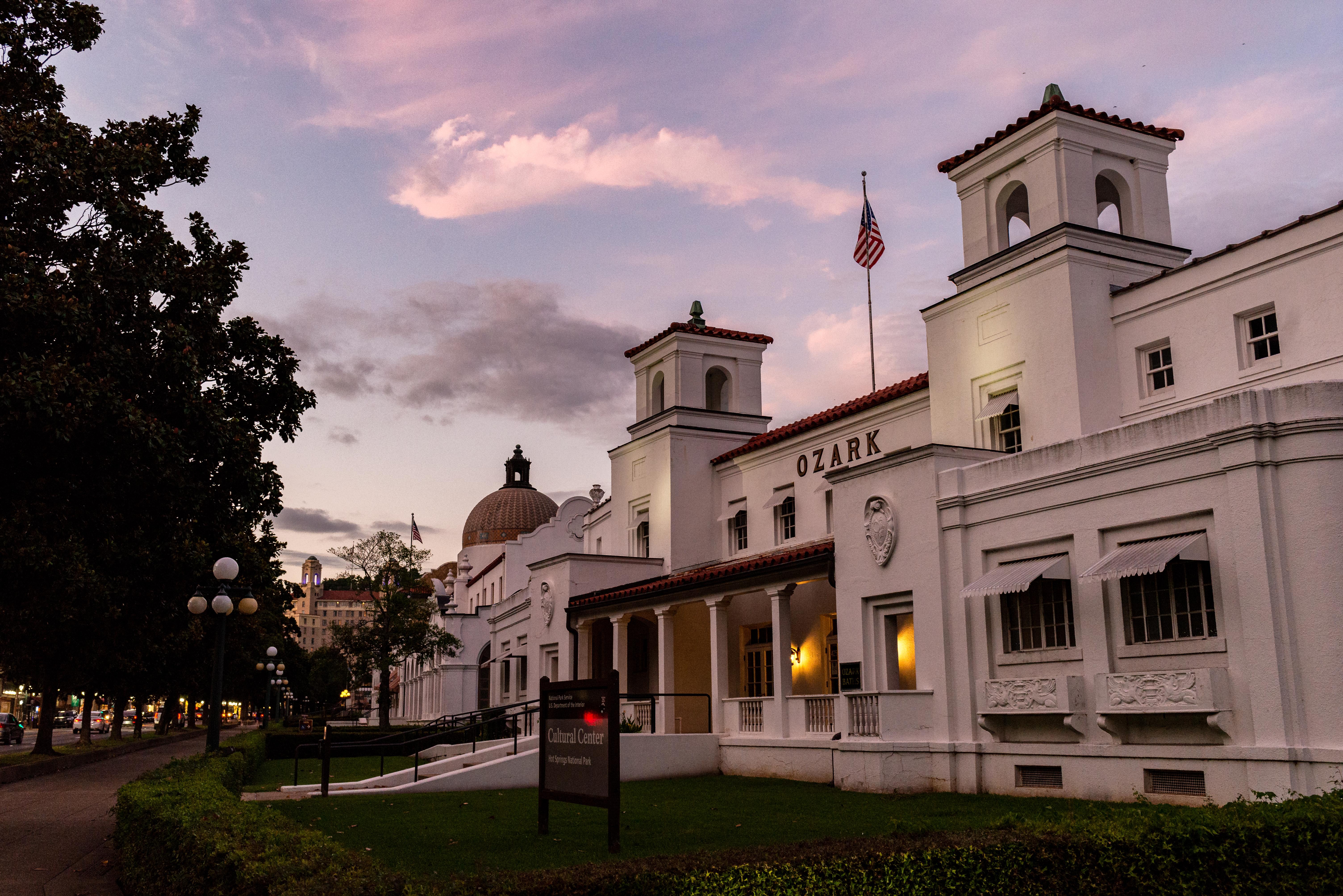
Hot Springs National Park has a rich cultural past. The grand architecture of our historic bathhouses is equally matched by the natural curiosities that have been drawing people here for hundreds of years. Ancient thermal springs, mountain views, incredible geology, forested hikes, and abundant creeks – all in the middle of town – make Hot Springs National Park a unique and beautiful destination.
The Park Service's own description.
Weather, in the Park Service's words
Average temperatures in Hot Springs can range from about 90°F (32°C) to less than 27°F (-2.7°C). Summer days can be hot and humid, with heat index values up to 110ºF (43ºC). Winter wind chills can make temperatures feel much colder, as low as 15ºF (-9.4ºC). Spring and fall typically have the most rainfall. Generally, Hot Springs experiences mild weather throughout the year.
Getting there
From Little Rock: Take I-30W towards Texarkana. Exit 111 for US 70W/Hot Springs. Turn Right onto Spring St. Turn Right onto Central Ave. Drive North, the Park will be on the right after Reserve St. From Texarkana: Take 1-30E. Exit 78 for AR-7 and turn left under the highway. Follow AR-7 North for 31 miles. AR-7 becomes Central Ave., the Park will be on the right after Reserve Street.
Hours
Arlington Lawn, Grand Promenade, sidewalks on Bathhouse Row, Reserve Street, and Fountain Street, except for walk through traffic, are open from to 5:00 am to 10:00 pm, daily. Roads to Hot Springs Mountain, North Mountain and West Mountain Summit are open to vehicle traffic from 8:00 am to 10:00 pm.
Current alerts (1)
Information · Burn Ban in Park
Due to high fire danger, Hot Springs National Park has enacted a BURN BAN, August 15, 2026. Only gas and charcoal grills are currently allowed for use in the campground and picnic areas.
Camp index at the park
Now 51°F, feels like 51°F; tonight's low about 39°F; UV 0.
- Nothing in the forecast argues against a tent tonight
- Tonight's low about 39°F: a 30°F bag
Forecast for the park's reference point; valleys and ridges differ by thousands of feet. How the index works →
Campgrounds in the park (1)
Around the park
Camp set up before "dark by" is the rule most people learn once. Source: sunrise-sunset.org.
- Echo Canyon Resort and Marina · 9 mi · first come, first served or not reservable online
- Lake Ouachita State Park · 10 mi · first come, first served or not reservable online
- BRADY MOUNTAIN · 12 mi · reservable on Recreation.gov
- Jessieville Winona Fourche Ranger District · 13 mi · first come, first served or not reservable online
- North Shores Resort and Marina · 14 mi · first come, first served or not reservable online
- Crystal Springs (AR) · 17 mi · reservable on Recreation.gov
- Charlton Recreation Area · 18 mi · reservable on Recreation.gov
- Degray Lake Resort State Park · 19 mi · first come, first served or not reservable online
- ARLIE MOORE · 19 mi · reservable on Recreation.gov
- CADDO DRIVE · 19 mi · reservable on Recreation.gov
Recreation.gov (RIDB): national forests, parks, BLM and Corps of Engineers sites with camping. State parks book through the state; the near-you pages list the rest from OpenStreetMap.
Tents in the shop
All tents → Made in the USA






Park text, alerts, campgrounds and images are the National Park Service's (public domain), fetched through its API; weather from MET Norway, alerts from the NWS, air quality from the EPA, fires from the interagency WFIGS feed, rivers from the USGS, tides from NOAA. Trail & Lantern adds the camp index and nothing else; none of this is safety advice. Check with the ranger station before you go.