
National parks / Joshua Tree National Park
Joshua Tree National Park
National Park · CA · nps.gov →
About the park
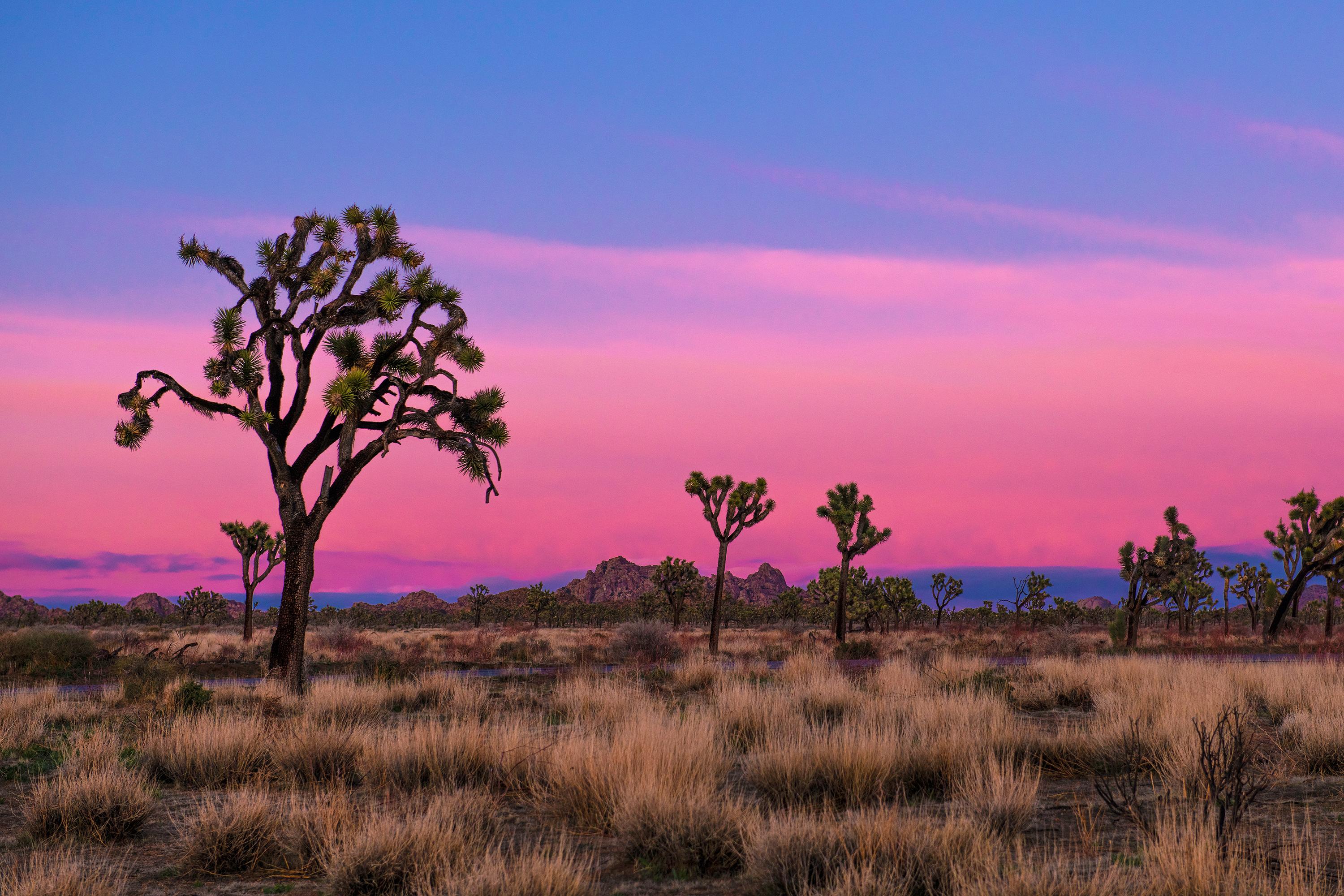
Two distinct desert ecosystems, the Mojave and the Colorado, come together in Joshua Tree National Park. A fascinating variety of plants and animals make their homes in a land sculpted by strong winds and occasional torrents of rain. Dark night skies, a rich cultural history, and surreal geologic features add to the wonder of this vast wilderness in southern California. Come explore for yourself!
The Park Service's own description.
Weather, in the Park Service's words
Days are typically clear with less than 25% humidity. Temperatures are most comfortable in the spring and fall, with an average highs around 85°F (29°C) and average lows around 50°F (10°C) respectively. Winter brings cooler days, around 60°F (15°C), and freezing nights. It occasionally snows at higher elevations. Summers are hot, over 100°F (38°C) during the day and not cooling much below 75°F (24°C) at night.
Getting there
From I-10, take exit 117 for CA Hwy 62 toward 29 Palms/Yucca Valley. This will allow you to access the West Entrance, the North Entrance, Black Rock, and Indian Cove. Take exit 168 off I-10 to come in at the park's South Entrance.
Entrance fees
- Entrance - Private Vehicle: $30.00 · 7-day vehicle permit, admitting the passengers of a single, non-commercial vehicle on the day of purchase and for the next six days.
- Entrance - Motorcycle: $25.00 · Valid for 7 days. Admits up to 2 private, non-commercial motorcycles with up to 4 total passengers.
- Entrance - Per Person: $15.00 · 7-day entrance fee, per person on foot or bike.
The America the Beautiful annual pass covers entrance at every park; it does not cover camping.
Hours
Joshua Tree National Park is open 24 hours a day, 7 days a week, 365 days a year. Visitation increases as temperatures moderate in the fall, peaks during the spring wildflower season, and diminishes during the heat of summer. Some areas of the park are designated for day use only. Visitor centers keep separate hours; please see descriptions.
Current alerts (3)
Park Closure · Geology Tour Road Temporarily Closed
The park received a significant amount of rain. Due to flooding, Geology Tour Road is temporarily closed. Please use caution while traveling on all other roads in the park.
Caution · Oasis of Mara Trail Partial Closure
Due to a heavy flooding event, the Oasis of Mara Trail is closed past the Oasis.
Caution · Inaccurate Third-Party Apps
Some third-party hiking apps are providing inaccurate trail and safety information to users. Please use the official NPS app for accurate information. more →
Camp index at the park
Now 72°F, feels like 72°F; tonight's low about 56°F; UV 0.6.
- Nothing in the forecast argues against a tent tonight
- Tonight's low about 56°F: a summer bag or a quilt
Forecast for the park's reference point; valleys and ridges differ by thousands of feet. How the index works →
Campgrounds in the park (9)
Around the park
Camp set up before "dark by" is the rule most people learn once. Source: sunrise-sunset.org.
- COTTONWOOD GROUP · 11 mi · reservable on Recreation.gov
- COTTONWOOD CAMPGROUND (CA) · 11 mi · reservable on Recreation.gov
- JUMBO ROCKS CAMPGROUND · 14 mi · reservable on Recreation.gov
- SHEEP PASS GROUP · 17 mi · reservable on Recreation.gov
- Ryan Campground · 19 mi · reservable on Recreation.gov
- Indian Cove Group · 22 mi · reservable on Recreation.gov
- INDIAN COVE CAMPGROUND · 23 mi · reservable on Recreation.gov
Recreation.gov (RIDB): national forests, parks, BLM and Corps of Engineers sites with camping. State parks book through the state; the near-you pages list the rest from OpenStreetMap.
Tents in the shop
All tents → Made in the USA






Park text, alerts, campgrounds and images are the National Park Service's (public domain), fetched through its API; weather from MET Norway, alerts from the NWS, air quality from the EPA, fires from the interagency WFIGS feed, rivers from the USGS, tides from NOAA. Trail & Lantern adds the camp index and nothing else; none of this is safety advice. Check with the ranger station before you go.