
National parks / Katmai National Park & Preserve
Katmai National Park & Preserve
National Park & Preserve · AK · nps.gov →
About the park
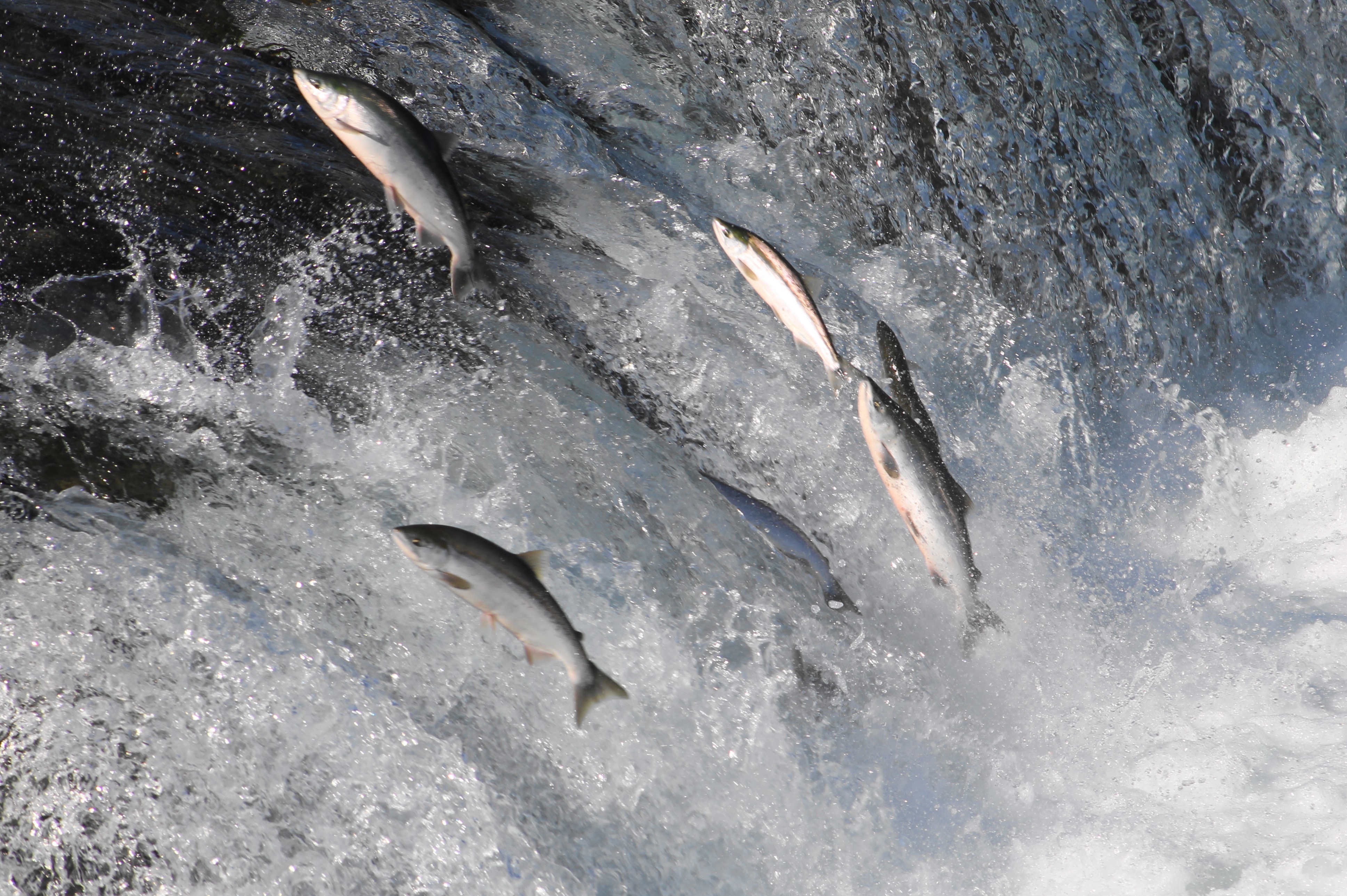
A landscape is alive underneath our feet, filled with creatures that remind us what it is to be wild. Katmai was established in 1918 to protect the volcanically devastated region surrounding Novarupta and the Valley of Ten Thousand Smokes. Today, Katmai National Park and Preserve also protects 9,000 years of human history and important habitat for salmon and thousands of brown bears.
The Park Service's own description.
Weather, in the Park Service's words
Located between the stormy north Pacific Ocean and the even stormier Bering Sea, the Katmai region is often a battleground between weather systems. When you visit, be prepared to encounter all types of weather. On average, wet and cool conditions predominate in spring, summer, and fall. Winters are drier and colder.
Getting there
Katmai National Park & Preserve is located on the northern Alaska Peninsula, northwest of Kodiak Island and southwest of Homer, Alaska. The park’s headquarters is in King Salmon, about 290 air miles southwest of Anchorage. Unlike most national parks in the United States, Katmai is almost exclusively accessed by plane or boat.
Hours
Katmai is open 24 hours per day, seven days per week.
Current alerts
No alerts posted by the park right now (fetched every three hours).
Camp index at the park
Now 20°F, feels like 19°F; tonight's low about 17°F; UV 0.1.
- 20°F: freezing; a 20°F bag, an insulated pad and a liquid-fuel or inverted-canister stove
- Tonight's low about 17°F: a 20°F bag or warmer
Forecast for the park's reference point; valleys and ridges differ by thousands of feet. How the index works →
Campgrounds in the park (1)
Around the park
Camp set up before "dark by" is the rule most people learn once. Source: sunrise-sunset.org.
- Fure's Cabin · 15 mi · reservable on Recreation.gov
Recreation.gov (RIDB): national forests, parks, BLM and Corps of Engineers sites with camping. State parks book through the state; the near-you pages list the rest from OpenStreetMap.
NOAA CO-OPS predictions, local time, feet above MLLW. Launch and land on a rising tide where there are mudflats; the station page has the full table.
Tents in the shop
All tents → Made in the USA






Park text, alerts, campgrounds and images are the National Park Service's (public domain), fetched through its API; weather from MET Norway, alerts from the NWS, air quality from the EPA, fires from the interagency WFIGS feed, rivers from the USGS, tides from NOAA. Trail & Lantern adds the camp index and nothing else; none of this is safety advice. Check with the ranger station before you go.