
National parks / Mammoth Cave National Park
Mammoth Cave National Park
National Park · KY · nps.gov →
About the park
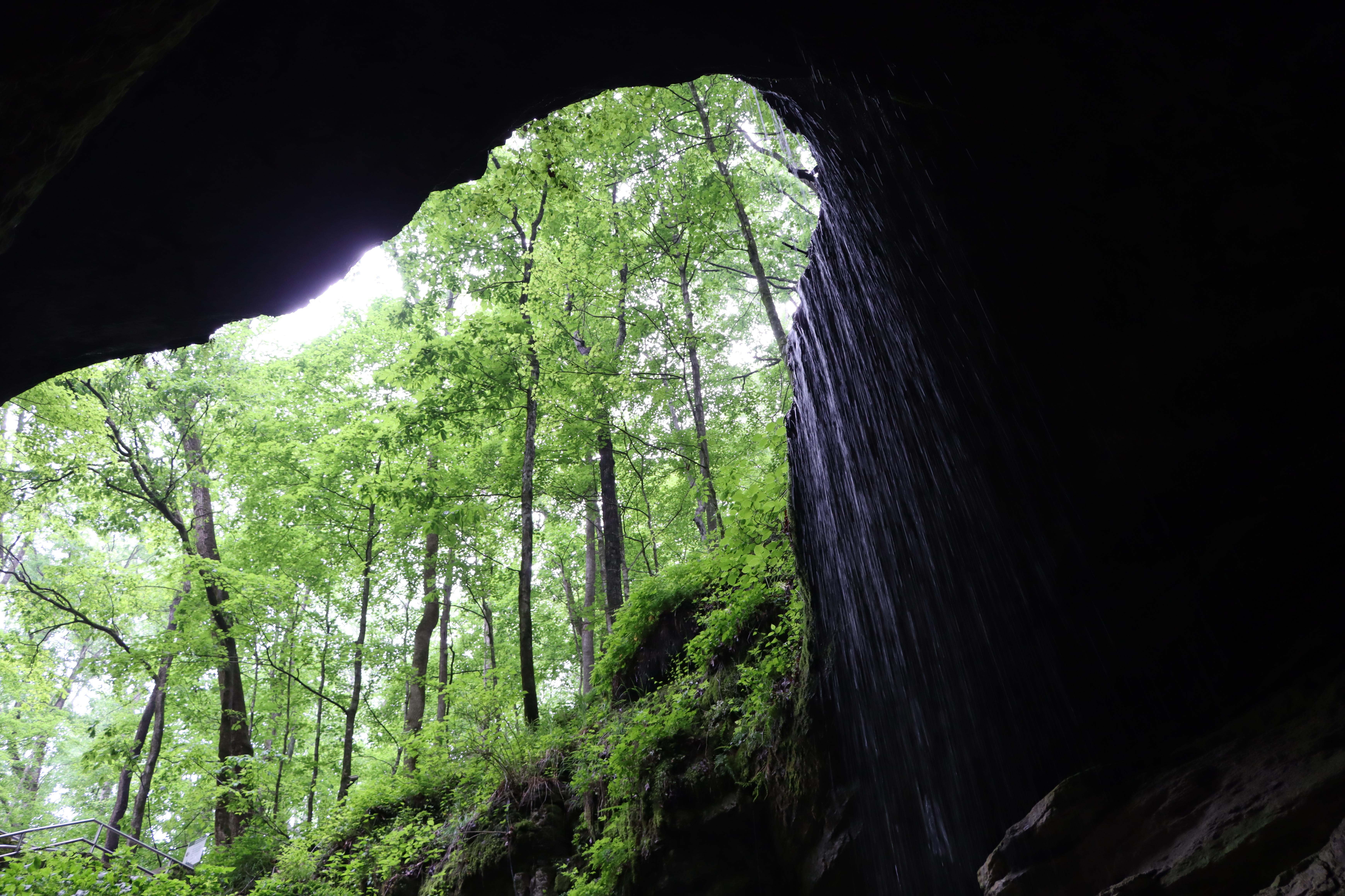
Rolling hills, deep river valleys, and the world's longest known cave system. Mammoth Cave National Park is home to thousands of years of human history and a rich diversity of plant and animal life, earning it the title of UNESCO World Heritage Site and International Biosphere Region.
The Park Service's own description.
Weather, in the Park Service's words
Kentucky has a moderate climate with warm, yet moist conditions. Summers average in the high 80s; winters average in the low 40s. Southern Kentucky, where Mammoth Cave is located, receives the highest average precipitation for the state, about 50 inches per year, mostly in spring. Winter can bring mild to moderate snow and ice. Storms happen year-round, and can include tornadoes and flooding in low-lying areas, but severe weather is infrequent. The temperature deep in the cave is a constant 54°F (12°C).
Getting there
DO NOT FOLLOW YOUR GPS! From the North: Take Interstate 65 to Exit 53 (Cave City Exit). Turn right onto KY-70. Follow 70/255 as it becomes the Mammoth Cave Parkway in the park. Follow the Mammoth Cave Parkway to the Visitor Center. From the South: Take Interstate 65 to Exit 48 (Park City Exit). Turn left onto KY-255 and follow 255 as it becomes the Park City Road into the park. Follow Park City Road until it joins the Mammoth Cave Parkway; turn left. Follow the Mammoth Cave Parkway to the Visitor Center.
Hours
Mammoth Cave National Park is open 24-hours a day, although services such as cave tours and the visitor center are limited after-hours. There is no gate at the park entrance. Please note that camping is only possible either in designated campgrounds or backcountry campsites with a valid reservation or permit.
Current alerts (3)
Park Closure · Green River Ferry Temporarily Out of Service
The Green River Ferry has temporarily suspended operation due to low water levels. Ferry service will resume once water levels rise and conditions are safe. A river forecast is available at: water.noaa.gov/gauges/03309000
Park Closure · Elevator for Accessible Tour Out of Service
Due to mechanical issues with the cave elevator, the Accessible Tour is currently unavailable. Please check back for updates or call the visitor center at (270) 758-2180.
Information · Tickets are required to enter Mammoth Cave
Reservations are strongly recommended. Reservations are the only way to ensure a spot is available for your party. Please plan accordingly by visiting Recreation.gov to secure your tickets in advance. Availability of walk-up tickets is not guaranteed. more →
Camp index at the park
Now 45°F, feels like 43°F; tonight's low about 34°F; UV 0.
- Nothing in the forecast argues against a tent tonight
- Tonight's low about 34°F: a 30°F bag
Forecast for the park's reference point; valleys and ridges differ by thousands of feet. How the index works →
Campgrounds in the park (3)
Around the park
Camp set up before "dark by" is the rule most people learn once. Source: sunrise-sunset.org.
- MAPLE SPRINGS · 1 mi · reservable on Recreation.gov
- MAMMOTH PICNIC SHELTERS · 1 mi · reservable on Recreation.gov
- MAMMOTH CAVE CAMPGROUND · 2 mi · reservable on Recreation.gov
- DOG CREEK (KY) · 9 mi · reservable on Recreation.gov
- MOUTARDIER · 10 mi · reservable on Recreation.gov
- WAX · 10 mi · first come, first served or not reservable online
- Beaver Creek · 20 mi · first come, first served or not reservable online
- THE NARROWS · 21 mi · reservable on Recreation.gov
- TAILWATER · 21 mi · reservable on Recreation.gov
- BAILEYS POINT · 21 mi · reservable on Recreation.gov
Recreation.gov (RIDB): national forests, parks, BLM and Corps of Engineers sites with camping. State parks book through the state; the near-you pages list the rest from OpenStreetMap.
Tents in the shop
All tents → Made in the USA






Park text, alerts, campgrounds and images are the National Park Service's (public domain), fetched through its API; weather from MET Norway, alerts from the NWS, air quality from the EPA, fires from the interagency WFIGS feed, rivers from the USGS, tides from NOAA. Trail & Lantern adds the camp index and nothing else; none of this is safety advice. Check with the ranger station before you go.