
National parks / North Cascades National Park
North Cascades National Park
National Park · WA · nps.gov →
About the park
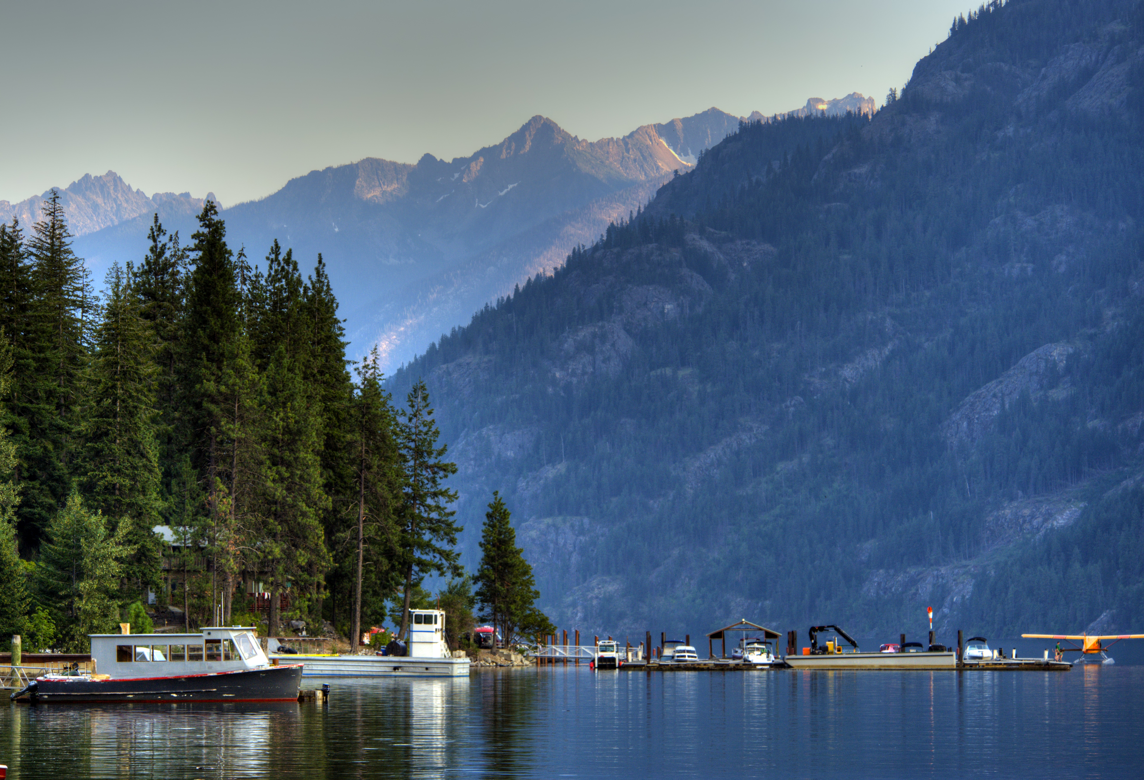
Less than three hours from Seattle, an alpine landscape beckons. Discover communities of life adapted to moisture in the west and recurring fire in the east. Explore jagged peaks crowned by more than 300 glaciers. Listen to cascading waters in forested valleys. Witness a landscape sensitive to the Earth's changing climate. Help steward the ecological heart of the Cascades.
The Park Service's own description.
Weather, in the Park Service's words
The best weather for visiting the North Cascades generally occurs between mid-June and late-September. Summer daytime temperatures average in the 70's F. Snow is off most trails by mid-July. Autumn and Spring are popular for color and wildlife. Storms are common: always be prepared for a few days of rain and wind. The east side of the Cascade Mountains (Lake Chelan National Recreation Area) is drier and warmer in the summer than the west side. Summer temperatures at Stehekin reach the 90's F.
Getting there
Access to North Cascades National Park and Ross Lake National Recreation Area is from the State Route 20 corridor. SR 20 (North Cascades Highway) connects with Interstate 5 (Exit 230) at Burlington. From the east, the highway intersects with US 97 at Okanogan and with SR 153 at Twisp. The State Department of Transportation closes a portion of the road between Ross Dam Trailhead and Lone Fir Campground in winter. The Lake Chelan National Recreation Area (Stehekin) is accessible by ferry or plane from Chelan.
Hours
North Cascades National Park Service Complex is open year-round. The park operational season is late May-late September, with limited services outside the operational season. The North Cascades Visitor Center in Newhalem is open during the operational season, dates may vary annually.
Current alerts (7)
Park Closure · Cascade River Road Closed for the Winter Season
Cascade River Road is closed at milepost 21 (Johnson Cabin) two miles before the trailhead. Cascade River Road usually opens in mid-summer depending on snow and road damage. Do not block gate. Foot and bicycle traffic is permitted beyond the gate. more →
Information · Stehekin is Open, Services Limited at Stehekin Landing
Visitor and recreational opportunities continue to be available in the Stehekin Valley. Some services are limited at the Stehekin Landing following flood damage in December 2025. more →
Caution · Stehekin Flash Flood and Debris Flow Area
The Stehekin area is prone to flooding, which increases in a post-fire environment. Know before you go – visit the Post Fire Safety page for information on what to do in a flash flood and debris flow area more →
Park Closure · Hozomeen Gate Remains Closed
Until further notice, the gate at Hozomeen will remain closed; vehicle and foot traffic across the US/Canada border is prohibited. Visitors must enter through a designated port of entry. more →
Park Closure · Fire Closures - Trail, Area, and Camp Closures
For closures due to fire activity visit the Fire Closures page, including trail, area, and camp closures for current and post fire conditions. more →
Caution · Diablo Lake Boat Launch Inaccessible to Powerboats
Due to silt accumulation, the Diablo Lake boat launch at Colonial Creek South Campground is not usable for launching most powerboats. Expect shallow or no water at the launch ramp and the possibility of needing to carry your boat to or from the water. more →
Caution · Be Aware of Break-ins along State Route 20
Prevent smashed windows and theft. Break-ins are not uncommon at trailheads along State Route 20. Remove your valuables and electronics and take associated electronic cords.
Camp index at the park
Now 42°F, feels like 41°F; tonight's low about 35°F; UV 0.2.
- 42°F: cold; a 30°F bag and a pad with real insulation (R-value 3 or more)
- Showers possible: stake the fly out before dark
- Tonight's low about 35°F, 0.9 mm of rain overnight: a 30°F bag
Forecast for the park's reference point; valleys and ridges differ by thousands of feet. How the index works →
Campgrounds in the park (10)
Around the park
- SISI (WA) · 4,816 acres, 90% contained · 30 mi away · since 2026-08-14
- KING (WA) · 3,427 acres, 95% contained · 86 mi away · since 2026-08-19
Interagency (WFIGS) incident feed, fires over 100 acres, refreshed hourly. Smoke travels further than fire: the camp index shows the EPA air quality for the hour. Closures and evacuations come from the land agency, not this list; InciWeb has the incident pages.
Camp set up before "dark by" is the rule most people learn once. Source: sunrise-sunset.org.
- Gorge Lake Campground · 3 mi · reservable on Recreation.gov
- Newhalem Creek Campground · 4 mi · reservable on Recreation.gov
- LOWER GOODELL GROUP CAMPGROUND · 4 mi · reservable on Recreation.gov
- UPPER GOODELL GROUP CAMPGROUND · 4 mi · reservable on Recreation.gov
- Goodell Creek Campground · 4 mi · reservable on Recreation.gov
- Colonial Creek North Campground · 5 mi · reservable on Recreation.gov
- Colonial Creek South Campground · 5 mi · reservable on Recreation.gov
- Marble Creek Campground · 13 mi · reservable on Recreation.gov
- Mineral Park Campground · 17 mi · reservable on Recreation.gov
- Shannon Creek Campground · 18 mi · reservable on Recreation.gov
Recreation.gov (RIDB): national forests, parks, BLM and Corps of Engineers sites with camping. State parks book through the state; the near-you pages list the rest from OpenStreetMap.
| Gauge | Flow | Stage |
|---|---|---|
| STETATTLE CREEK AT DIABLO 3 mi | – | 18.1 ft |
| SKAGIT RIVER AT NEWHALEM 3 mi | 2,860 cfs | 83.4 ft |
| NEWHALEM CREEK AT NEWHALEM 4 mi | 174 cfs | 12.7 ft |
| SKAGIT RIVER BELOW BABCOCK CREEK NEAR NEWHALEM 5 mi | – | 28.61 ft |
| THUNDER CREEK NEAR NEWHALEM 7 mi | 261 cfs | 7.34 ft |
| BIG BEAVER CREEK NEAR NEWHALEM 8 mi | 331 cfs | 1.86 ft |
Discharge in cubic feet per second and gage height, from the USGS instantaneous-values service, usually within the hour. What a number means for wading or paddling depends on the river; the gauge page has the long-term median to compare against, and a sharp rise after rain is the sign to stay out.
Tents in the shop
All tents → Made in the USA






Park text, alerts, campgrounds and images are the National Park Service's (public domain), fetched through its API; weather from MET Norway, alerts from the NWS, air quality from the EPA, fires from the interagency WFIGS feed, rivers from the USGS, tides from NOAA. Trail & Lantern adds the camp index and nothing else; none of this is safety advice. Check with the ranger station before you go.