
National parks / National Park of American Samoa
National Park of American Samoa
· AS · nps.gov →
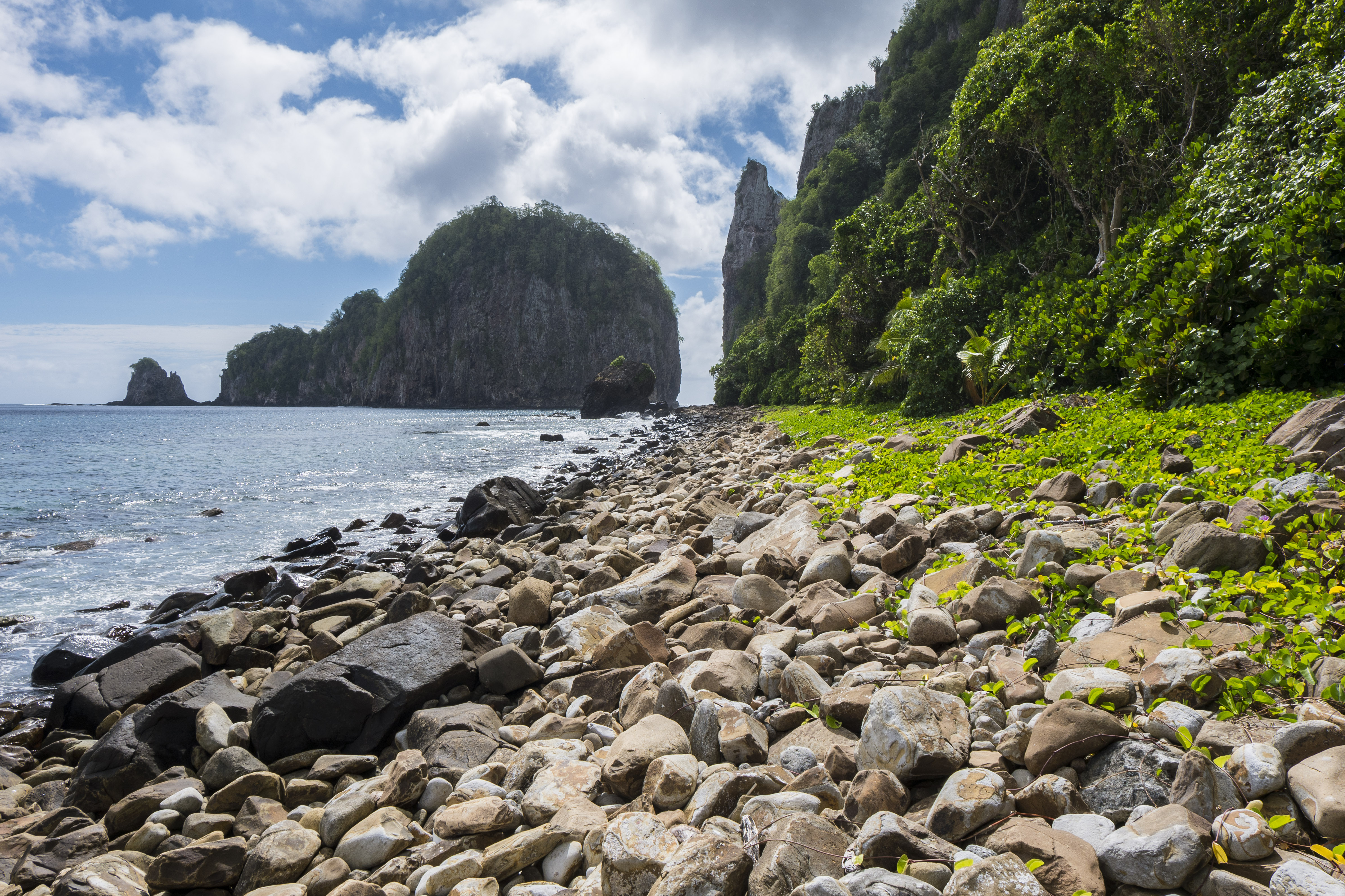
About the park
The National Park of American Samoa invites you to discover the vibrant culture and stunning landscapes of the South Pacific. Experience a world unlike any other, where natural beauty and cultural heritage are protected for future generations. Join us in exploring these islands of sacred earth!
The Park Service's own description.
Weather, in the Park Service's words
American Samoa is in the South Pacific Ocean, between the Equator and the Tropic of Capricorn. A tropical climate prevails with warm or hot temperatures year-round and high humidity. Rain showers are frequent and can last only for a few minutes or all-day. The average annual rainfall is 125-inches in the dryer areas to as much as 300-inches in the highest mountains. Tropical storms are more prevalent during the long, wet summer season (October -May) and a slightly cooler and drier season (June-September)
Getting there
The visitor center is located in the village of Pago Pago, across from the Pago Way Service Station. The national park is located in the villages of Vatia, Pago Pago, Fagasa, Afono (on Tutuila Island), Fitiuta, Faleasao (on Ta'u Island), and Ofu Island
Hours
* The National Park of American Samoa is open 24-hours per day, year round, including holidays. However, some areas of the park maybe temporarily closed due to trail maintenance and/or safety measures. * No fees or reservations are required to visit the national park. * The visitor center and park store is open weekdays from 8:00 am to 3:00 pm. and closed on weekends and federal holidays (except
Current alerts (1)
Park Closure · Alava Trail Closure
The Mount Alava trail and Fatifati trail from the Fagasa pass to the summit is closed for trail improvement work until further notice. Visitors can hike to the Alava trail from the Old Vatia trail, it is a much steeper and more rugged climb. Other suggested hiking alternatives in…
Camp index at the park
Now 80°F, feels like 84°F; tonight's low about 79°F; UV 4.7.
- Warm (84°F feels-like): fine in shade, a tent in sun bakes by noon
- Breezy (17 mph): a windscreen for the stove
- Tonight's low about 79°F, 0.2 mm of rain overnight: a summer bag or a quilt
Forecast for the park's reference point; valleys and ridges differ by thousands of feet. How the index works →
Campgrounds in the park
The Park Service lists no campgrounds for this park, or the list is still loading; lodging and backcountry permits are on the park's site.
Around the park
Camp set up before "dark by" is the rule most people learn once. Source: sunrise-sunset.org.
NOAA CO-OPS predictions, local time, feet above MLLW. Launch and land on a rising tide where there are mudflats; the station page has the full table.
Tents in the shop
All tents → Made in the USA






Park text, alerts, campgrounds and images are the National Park Service's (public domain), fetched through its API; weather from MET Norway, alerts from the NWS, air quality from the EPA, fires from the interagency WFIGS feed, rivers from the USGS, tides from NOAA. Trail & Lantern adds the camp index and nothing else; none of this is safety advice. Check with the ranger station before you go.