
National parks / Redwood National and State Parks
Redwood National and State Parks
National and State Parks · CA · nps.gov →
About the park
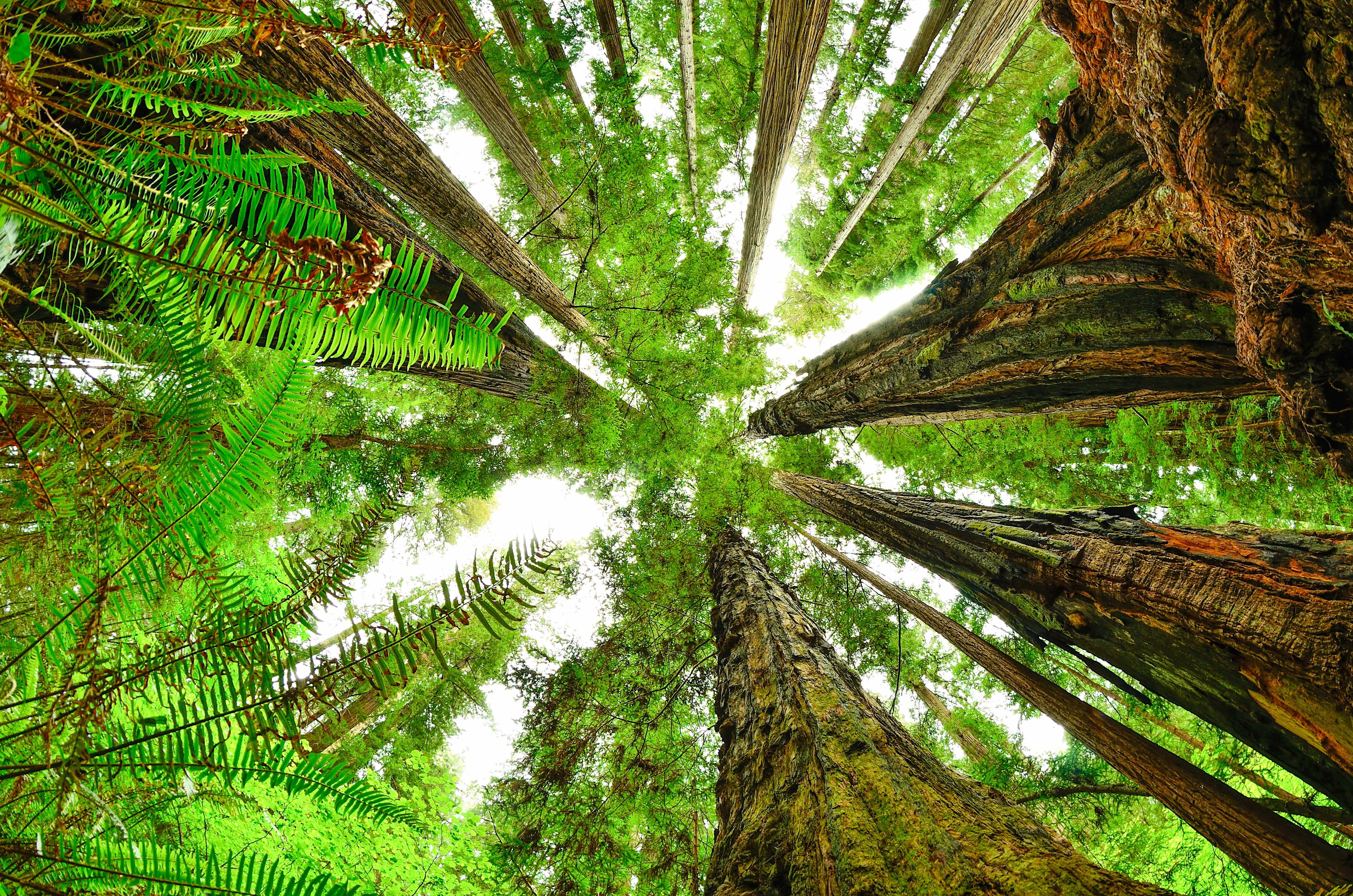
Renowned for the world’s tallest trees, Redwood’s landscapes span from open prairies and oak woodlands to pristine rivers and untamed coastline. This ancient home has supported people for thousands of years. The National Park Service and California State Parks now work to safeguard and rejuvenate these lands for everyone’s enjoyment, learning, and inspiration.
The Park Service's own description.
Weather, in the Park Service's words
Visitors should be prepared for cooler and damp weather. Dress in layers and expect to get wet. Year-round temperatures along California's redwood coast: mid-40s°F (7°C) to mid-60s°F (18°C). Summer can be foggy, with highs occasionally reaching low 70s°F (20°C). Winters are cooler with considerable rain. October through April averages 60-80 inches of rain over the region.
Getting there
Redwood National and State Parks is located in northernmost coastal California - almost on the Oregon border. The parks are about 60-miles long, with four visitor centers from north to south. We are a six to seven-hour drive (325 miles) north of San Francisco, a six-hour drive (330 miles) south of Portland, OR and a four-hour drive (170 miles) west of Redding, CA.
Hours
The national and state parks are always open to enjoy. Roads, trails and public access remain open year round. Some campgrounds and visitor centers are closed - or have reduced hours - in the off-season (October-May)
Current alerts (4)
Park Closure · Closure: Howland Hill Road and Jedediah Smith Campground
Starting on November 12, Howland Hill Road and Jedediah Smith Camground will be closed due to severe weather conditions. Additionally, all trails along Howland Hill Road are closed. The road, trails, and campgrounds will reopen when storms have passed, and conditions can be safel…
Information · DeMartin Trail and Campground
As part of CalTrans work to develop a new highway route that is more stable and safer, they will be undertaking geotechnical drilling this fall and winter. Hikers and campers in the area will likely see and hear heavy equipment at work and hear noise associated with the drilling,… more →
Information · 44 Creek Bridge Failure
44 creek bridge is closed due to damage identified by a Federal Highway inspection team. This bridge is north of 44 Camp, approximately 7 miles south of the Redwood Creek trailhead and about 1 mile north of the Tall Trees river crossing. All trails remain open in the area, but cr…
Caution · Delays along Highway 101
There are multiple traffic stops along Highway 101 from Orick, CA to Crescent City, CA due to road construction. Extra time may be needed to travel throughout the park. Delay times may vary. Please stay alert and drive cautiously.
Camp index at the park
Now 54°F, feels like 54°F; tonight's low about 43°F; UV 0.4.
- Nothing in the forecast argues against a tent tonight
- Tonight's low about 43°F, 7.3 mm of rain overnight: a 30°F bag
Forecast for the park's reference point; valleys and ridges differ by thousands of feet. How the index works →
Campgrounds in the park (4)
Around the park
Camp set up before "dark by" is the rule most people learn once. Source: sunrise-sunset.org.
- FISH LAKE CAMPGROUND · 19 mi · reservable on Recreation.gov
- E-Ne-Nuck Campground · 21 mi · first come, first served or not reservable online
- Aikens Creek West Campground · 22 mi · first come, first served or not reservable online
Recreation.gov (RIDB): national forests, parks, BLM and Corps of Engineers sites with camping. State parks book through the state; the near-you pages list the rest from OpenStreetMap.
NOAA CO-OPS predictions, local time, feet above MLLW. Launch and land on a rising tide where there are mudflats; the station page has the full table.
Tents in the shop
All tents → Made in the USA






Park text, alerts, campgrounds and images are the National Park Service's (public domain), fetched through its API; weather from MET Norway, alerts from the NWS, air quality from the EPA, fires from the interagency WFIGS feed, rivers from the USGS, tides from NOAA. Trail & Lantern adds the camp index and nothing else; none of this is safety advice. Check with the ranger station before you go.