
National parks / Virgin Islands National Park
Virgin Islands National Park
National Park · VI · nps.gov →
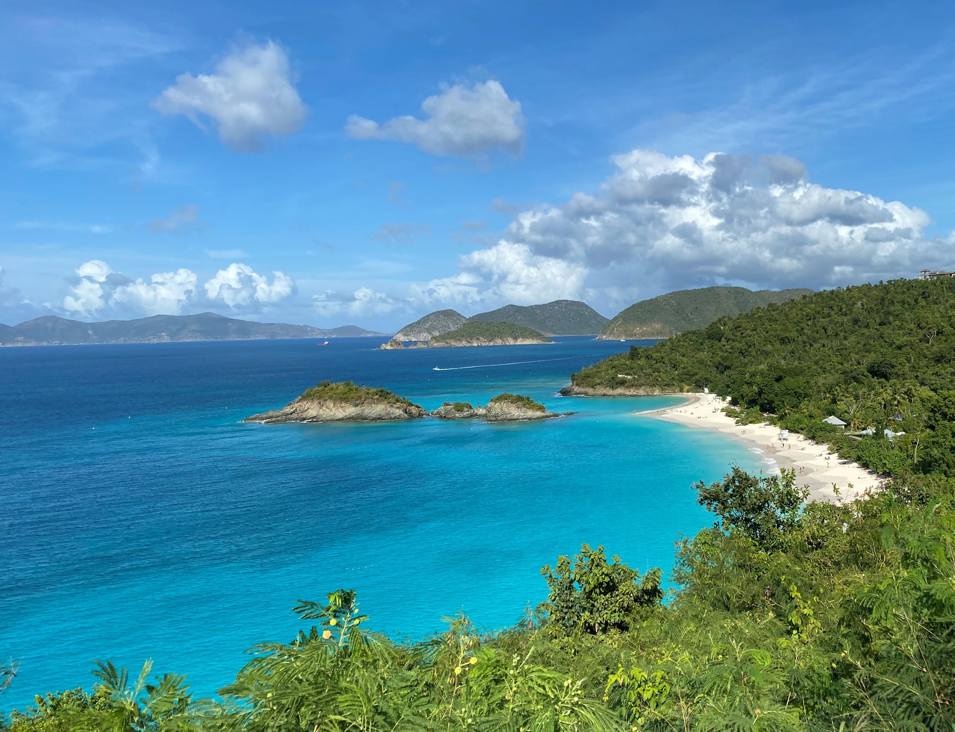
About the park
Go beyond Virgin Islands National Park's stunning white-sand beaches. Hike to historic plantation sites to learn about a challenging past when sugar and enslaved labor dominated life on the island. Visit the Indigenous Taino's ancient petroglyphs. Snorkel coral reefs to discover hidden marine life. Two-thirds of the island of St. John is national park, making it a unique destination for visitors.
The Park Service's own description.
Weather, in the Park Service's words
Mostly Perfect! The Tradewinds (the Easterlies) dominate the weather in the Virgin Islands, blowing east to west across the tropical Atlantic. The winter tends to bring stronger winds and less rain, and the summer tends to bring more rain and lighter winds. Be sure to check the forecast often during hurricane season or winter swell events.
Getting there
There are no airports on St. John so you must fly to the St. Thomas Cyril E. King Airport (code STT) and travel from there. From the airport you rent a car and drive or take a taxi to Redhook (west end) St. Thomas. From there you can either take a car barge to St. John or the people ferry. Once on St. John you can easily walk from the ferry terminal to the Visitor Center.
Hours
Virgin Islands National Park is always open! The Visitor Center and store are open from 8:15 a.m. until 4 p.m. Monday - Thursday and 8:15 a.m. until 1:30 p.m. on Fridays. It is closed on weekends, the Fourth of July, Thanksgiving Day, and Christmas Day.
Current alerts (1)
Caution · Trail Conditions
Rain may cause trails to be slick and overgrown. Staff and Volunteer Trail Crews clear trails regularly. Visitors should use caution and report trail issues to [email protected]
Camp index at the park
Now 82°F, feels like 85°F; tonight's low about 81°F; UV 0.
- Warm (85°F feels-like): fine in shade, a tent in sun bakes by noon
- Breezy (13 mph): a windscreen for the stove
- Tonight's low about 81°F: a summer bag or a quilt
Forecast for the park's reference point; valleys and ridges differ by thousands of feet. How the index works →
Campgrounds in the park (1)
Around the park
Camp set up before "dark by" is the rule most people learn once. Source: sunrise-sunset.org.
NOAA CO-OPS predictions, local time, feet above MLLW. Launch and land on a rising tide where there are mudflats; the station page has the full table.
Tents in the shop
All tents → Made in the USA






Park text, alerts, campgrounds and images are the National Park Service's (public domain), fetched through its API; weather from MET Norway, alerts from the NWS, air quality from the EPA, fires from the interagency WFIGS feed, rivers from the USGS, tides from NOAA. Trail & Lantern adds the camp index and nothing else; none of this is safety advice. Check with the ranger station before you go.