
National parks / Voyageurs National Park
Voyageurs National Park
National Park · MN · nps.gov →
About the park
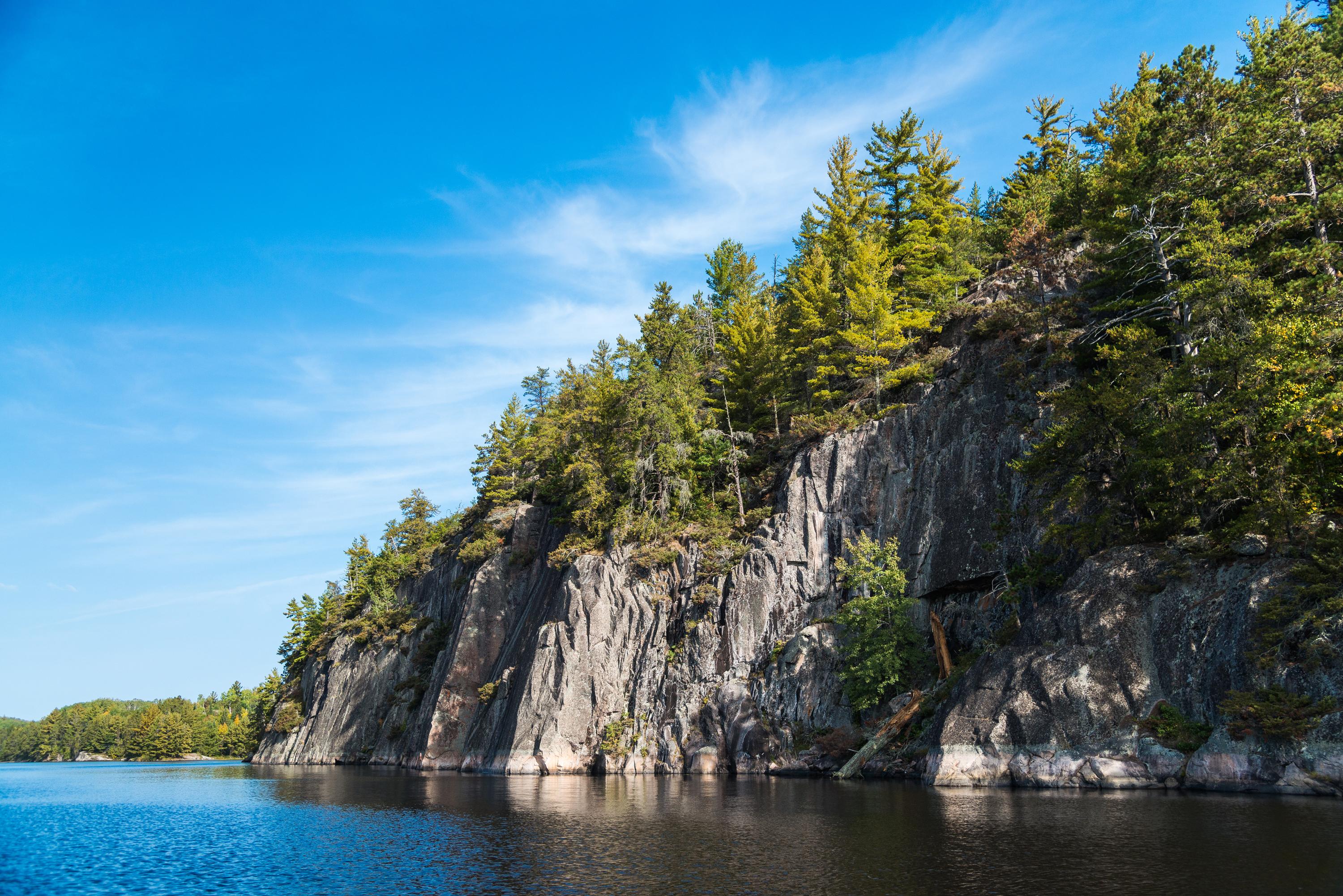
Voyageurs National Park spans 218,000 acres of lakes, forests, and streams in northern Minnesota. Established in 1975, the park is named after the French-Canadian Voyageurs who once navigated these abundant waters. Voyageurs National Park provides exceptional opportunities for recreation and exploration amidst landscapes rich in natural beauty, history, and cultural heritage.
The Park Service's own description.
Weather, in the Park Service's words
There are four distinct seasons in Voyageur country. During June, July, and August periods of fine, mild weather prevail. The frost-free season averages 120 days from June to mid-September. The average ice-out date is May 3. The first measurable snowfall occurs in late October and the last in late April or early May.
Getting there
Voyageurs National Park is located in Northern Minnesota near the Canadian border. Access to Voyageurs is available from many points along Rainy Lake, Kabetogama Lake, Ash River, Crane Lake, and Orr/Pelican Lake. The park's visitor centers and many trails can be reached by car, but much of Voyageurs is best explored by boat. All campsites in the park, except primitive, require a boat to reach.
Hours
Voyageurs is open 24-hours a day year-round, although activities and services are limited after visitor center hours. Please note that early spring and late fall may present hazards on the lake with thin ice; use caution.
Current alerts (1)
Park Closure · Partial Trail Closure: Echo Bay (Nov. 6 - 22)
A portion of the Echo Bay Trail in Kabetogama will be temporarily closed Nov. 6–22 during hunting season. The closure affects the easternmost section of the trail and is intended to minimize conflicts between trail users and promote visitor safety. Closure signs will be posted al…
Camp index at the park
Now 40°F, feels like 37°F; tonight's low about 36°F; UV 0.
- 40°F: cold; a 30°F bag and a pad with real insulation (R-value 3 or more)
- Tonight's low about 36°F: a 30°F bag
Forecast for the park's reference point; valleys and ridges differ by thousands of feet. How the index works →
Campgrounds in the park
The Park Service lists no campgrounds for this park, or the list is still loading; lodging and backcountry permits are on the park's site.
Around the park
Camp set up before "dark by" is the rule most people learn once. Source: sunrise-sunset.org.
| Gauge | Flow | Stage |
|---|---|---|
| GOLD PORTAGE OUTLET FROM KABETOGAMA LK NR RAY 11 mi | 144 cfs | 15.24 ft |
| VERMILION RIVER NR CRANE LAKE 20 mi | 708 cfs | 7.87 ft |
| Rainy River at Voyageur Wy International Falls 26 mi | – | 18.68 ft |
Discharge in cubic feet per second and gage height, from the USGS instantaneous-values service, usually within the hour. What a number means for wading or paddling depends on the river; the gauge page has the long-term median to compare against, and a sharp rise after rain is the sign to stay out.
Tents in the shop
All tents → Made in the USA






Park text, alerts, campgrounds and images are the National Park Service's (public domain), fetched through its API; weather from MET Norway, alerts from the NWS, air quality from the EPA, fires from the interagency WFIGS feed, rivers from the USGS, tides from NOAA. Trail & Lantern adds the camp index and nothing else; none of this is safety advice. Check with the ranger station before you go.