
National parks / White Sands National Park
White Sands National Park
National Park · NM · nps.gov →
About the park
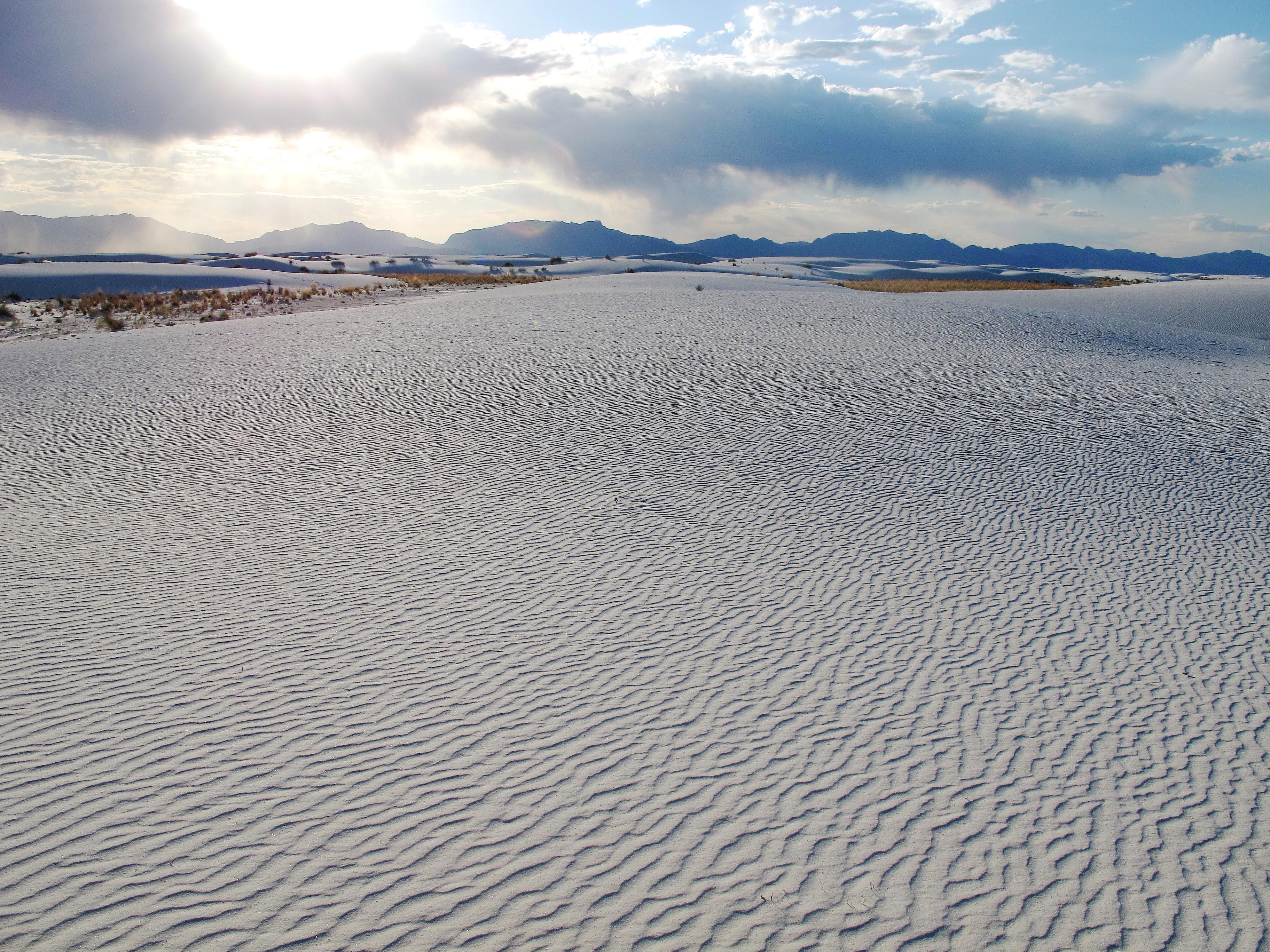
Rising from the heart of the Tularosa Basin is one of the world's great natural wonders - the glistening white sands of New Mexico. Great wave-like dunes of gypsum sand have engulfed 275 square miles of desert, creating the world's largest gypsum dunefield. White Sands National Park preserves a major portion of this unique dunefield, along with the plants and animals that live here.
The Park Service's own description.
Weather, in the Park Service's words
Temperatures at White Sands vary greatly throughout the year. Summer time temperatures can be very hot. Winters are mild with cool evenings. Spring time is the windy season. Fall is very enjoyable with mild daytime and night time temperatures.
Getting there
White Sands National Park is located off of US Highway 70 between the cities of Las Cruces and Alamogordo. The park is about 15 miles west of Alamogordo and 52 miles east of Las Cruces.
Entrance fees
- Entrance - Private Vehicle: $25.00 · Per vehicle fee is charged to visitors for entry by a single, private non-commercial vehicle. Entrance fees are valid for reentry for seven consecutive days from the date of purchase.
- Entrance - Per Person: $15.00 · Per person fee is charged to visitors for entry by means other than a single, private non-commercial vehicle. This includes, but is not limited to, individuals who enter the park by walking and bicycling. Entrance fees are valid for reentry for seven consecutive days from the date of purchase.
- Entrance - Motorcycle: $20.00 · Valid for 7 days. Admits up to 2 private, non-commercial motorcycles with up to 4 total passengers.
- Commercial Entrance - Van: $50.00 · Commercial bus/van tours are charged a flat rate based on the capacity of the vehicle (not the number of persons on board).
- Commercial Entrance - Mini-bus: $60.00 · Commercial bus/van tours are charged a flat rate based on the capacity of the vehicle (not the number of persons on board).
- Commercial Entrance - Motor Coach: $150.00 · Commercial bus/van tours are charged a flat rate based on the capacity of the vehicle (not the number of persons on board).
The America the Beautiful annual pass covers entrance at every park; it does not cover camping.
Hours
The park gates always open at 7:00 am with closing hours changing with sunset. The park closes 30 minutes after local sunset. Local sunset is 8 minutes earlier than Alamogordo's predicted sunset. Sunset times can be found at https://sunrise-sunset.org/us/alamogordo-nm
Current alerts (5)
Park Closure · Dunes Drive Safety Corridor
Dunes Drive is open. A safety corridor is in effect between mile marker 3 and 5.5 along Dunes Drive. Visitors may drive but not stop or exit their vehicle in this area. more →
Information · Backcountry Camping Closed
Backcountry camping at the park is closed. There is no established opening date at this time.
Information · Interdune Boardwalk Closed
Due to the active safety corridor, the Interdune Boardwalk is closed. Please visit the park visitor center to learn about other options during your visit.
Information · Park Closures
From time to time the missile range that surrounds the park performs military testing that may require the closure of the park or Highway 70. Please plan your visit around upcoming military tests. more →
Information · RV and Tractor Trailer Parking at the Visitor Center
There is limited space for parking for recreational vehicles and trailers in the parking lot directly in front (south) of the visitor center. RVs are asked to not park in the lot behind the visitor center. There is no parking space for tractor trailers.
Camp index at the park
Now 58°F, feels like 58°F; tonight's low about 44°F; UV 0.3.
- Nothing in the forecast argues against a tent tonight
- Tonight's low about 44°F: a 30°F bag
Forecast for the park's reference point; valleys and ridges differ by thousands of feet. How the index works →
Campgrounds in the park (1)
Around the park
Camp set up before "dark by" is the rule most people learn once. Source: sunrise-sunset.org.
| Gauge | Flow | Stage |
|---|---|---|
| SALT CREEK NEAR TULAROSA 34 mi | 3.39 cfs | 1.41 ft |
| TULAROSA CREEK NEAR BENT 36 mi | 7.62 cfs | 2.04 ft |
Discharge in cubic feet per second and gage height, from the USGS instantaneous-values service, usually within the hour. What a number means for wading or paddling depends on the river; the gauge page has the long-term median to compare against, and a sharp rise after rain is the sign to stay out.
Tents in the shop
All tents → Made in the USA






Park text, alerts, campgrounds and images are the National Park Service's (public domain), fetched through its API; weather from MET Norway, alerts from the NWS, air quality from the EPA, fires from the interagency WFIGS feed, rivers from the USGS, tides from NOAA. Trail & Lantern adds the camp index and nothing else; none of this is safety advice. Check with the ranger station before you go.