
National parks / Wind Cave National Park
Wind Cave National Park
National Park · SD · nps.gov →
About the park
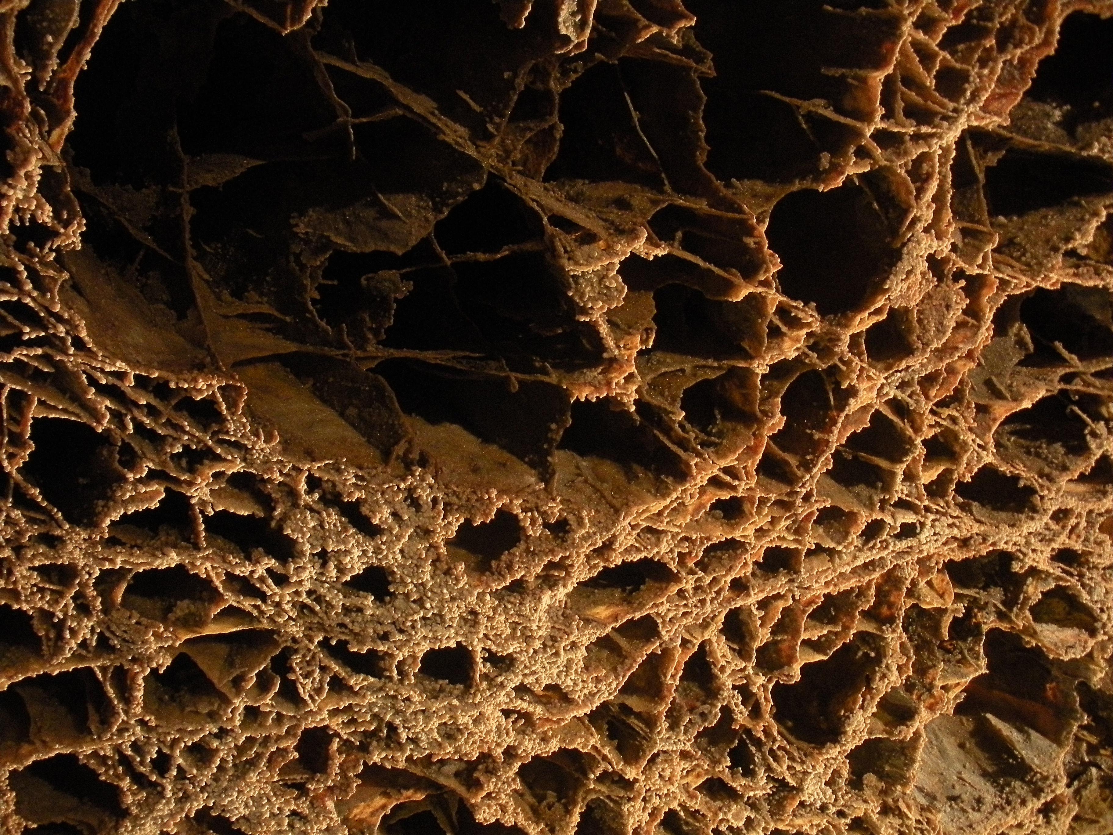
Wind Cave National Park protects two very different worlds - one deep within the earth, the other a sunlit world of many resources. Bison, elk, and other wildlife roam the rolling prairie grasslands and forested hillsides of one of America's oldest national parks. Below the remnant island of intact prairie sits Wind Cave, one of the longest and most complex caves in the world.
The Park Service's own description.
Weather, in the Park Service's words
Spring: Highs range from 50-70°F with highly variable weather. Spring is the park's wettest season. Summer: Hot and generally dry with daytime temperatures regularly exceeding 80°F (27°C). Strong thunderstorms are common and can produce large hail and lightning. Fall: Generally dry with warm days and cool nights. Highs 50-60°F. Lows below freezing are common. Winter: Highs are in the high 30s with lows around 10°F. Snowfall averages 30 inches annually, periodically closing park roads.
Getting there
Wind Cave National Park is located in South Dakota about 11 miles north of Hot Springs, or about 22 miles south of Custer, on US Highway 385. The park Visitor Center, where all cave tours begin, is approximately 1/2 mile west of the highway.
Hours
The park is open all day, every day. Snow or severe weather can limit access to some areas of the park, especially in winter. Visitor Center hours and cave tour schedules vary throughout the year. Visit the park website or call 605.745.4600 for current conditions.
Current alerts (3)
Information · Natural Entrance Tour Route Closes For Season October 1, 2026
The Natural Entrance Tour Route will be closed for the season beginning October 1st, 2026. The Garden of Eden, Fairgrounds, and Accessibility Tour Routes remain available. This annual closure will last through the winter season.
Information · Centennial Trailhead Parking
Reminder: Overnight parking without a camping permit is prohibited. Permits are not issued specifically for parking. Shuttles are available in the Black Hills for through hikers on the Centennial Trail.
Information · Wind Cave moves to cashless fee collection
Payments for cave tours, campground fees, as well as Interagency Passes at Wind Cave National Park, will be by credit/ debit cards or digital payments only. Cash and check payments will no longer be accepted.
Camp index at the park
Now 52°F, feels like 52°F; tonight's low about 44°F; UV 0.
- Nothing in the forecast argues against a tent tonight
- Tonight's low about 44°F: a 30°F bag
Forecast for the park's reference point; valleys and ridges differ by thousands of feet. How the index works →
Campgrounds in the park (1)
Around the park
Camp set up before "dark by" is the rule most people learn once. Source: sunrise-sunset.org.
- Cold Brook Campground · 9 mi · reservable on Recreation.gov
- Cottonwood Springs Campground · 12 mi · reservable on Recreation.gov
- Bismarck Lake · 14 mi · first come, first served or not reservable online
- Bismark Lake · 14 mi · reservable on Recreation.gov
- Southern Hills - Custer · 16 mi · first come, first served or not reservable online
- IRON CREEK HORSE CAMP · 17 mi · reservable on Recreation.gov
- COMANCHE PARK · 17 mi · reservable on Recreation.gov
- Grizzly Bear Campground · 21 mi · reservable on Recreation.gov
- HORSETHIEF LAKE CAMPGROUND · 22 mi · reservable on Recreation.gov
- OREVILLE CAMPGROUND · 22 mi · reservable on Recreation.gov
Recreation.gov (RIDB): national forests, parks, BLM and Corps of Engineers sites with camping. State parks book through the state; the near-you pages list the rest from OpenStreetMap.
| Gauge | Flow | Stage |
|---|---|---|
| FRENCH CREEK ABOVE FAIRBURN 10 mi | 1.86 cfs | 0.66 ft |
| BEAVER CREEK NEAR BUFFALO GAP 10 mi | 4.58 cfs | 3.89 ft |
| FALL RIVER AT HOT SPRINGS 10 mi | 27.8 cfs | 0.85 ft |
| GRACE COOLIDGE CREEK NR GAME LODGE NR CUSTER 13 mi | 1.2 cfs | 6.83 ft |
| GRACE COOLIDGE CREEK NEAR HAYWARD 15 mi | 1.2 cfs | – |
| BEAR GULCH NEAR HAYWARD 15 mi | 0.94 cfs | – |
Discharge in cubic feet per second and gage height, from the USGS instantaneous-values service, usually within the hour. What a number means for wading or paddling depends on the river; the gauge page has the long-term median to compare against, and a sharp rise after rain is the sign to stay out.
Tents in the shop
All tents → Made in the USA






Park text, alerts, campgrounds and images are the National Park Service's (public domain), fetched through its API; weather from MET Norway, alerts from the NWS, air quality from the EPA, fires from the interagency WFIGS feed, rivers from the USGS, tides from NOAA. Trail & Lantern adds the camp index and nothing else; none of this is safety advice. Check with the ranger station before you go.