
National parks / Wrangell - St Elias National Park & Preserve
Wrangell - St Elias National Park & Preserve
National Park & Preserve · AK · nps.gov →
About the park
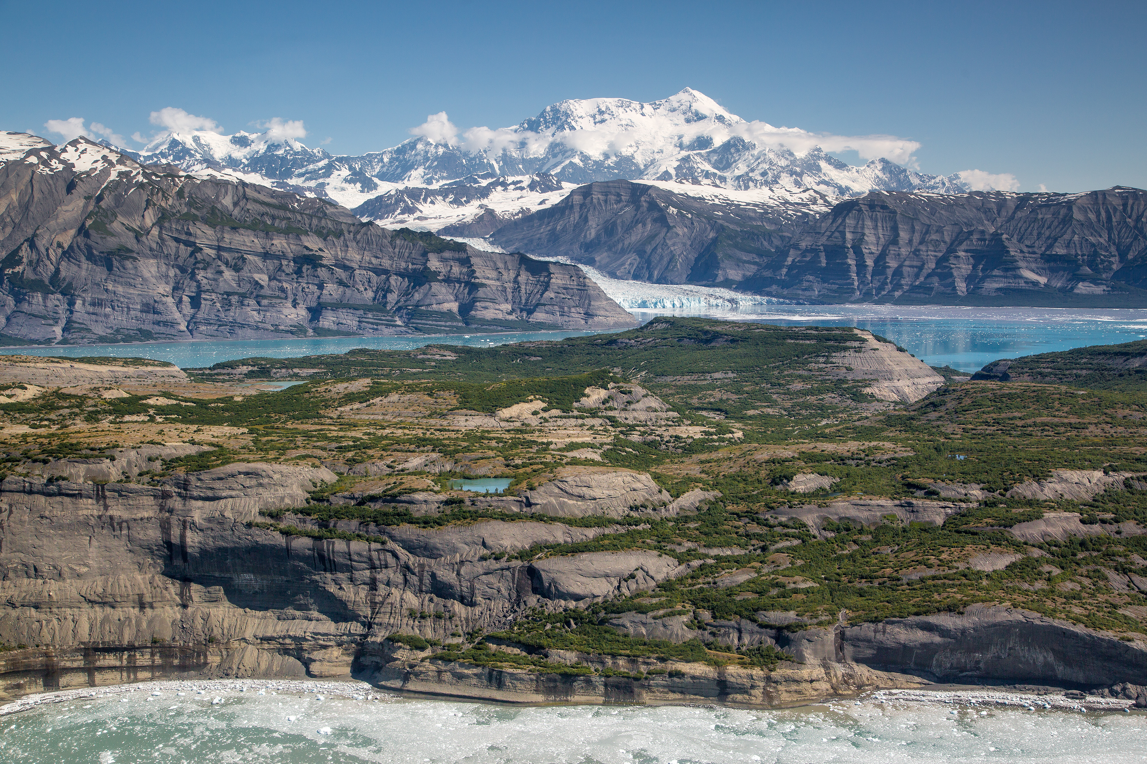
Wrangell-St. Elias is a vast national park that rises from the ocean all the way up to 18,008 ft. At 13.2 million acres, the park is the same size as Yellowstone National Park, Yosemite National Park, and Switzerland combined! Within this wild landscape, people continue to live off the land as they have done for centuries. This rugged, beautiful land is filled with opportunities for adventure.
The Park Service's own description.
Weather, in the Park Service's words
Varies widely depending on location in park and time of year. Visit https://www.nps.gov/wrst/planyourvisit/weather.htm for detailed information.
Getting there
The administrative building and main park visitor center are located along the Richardson Highway (Hwy 4), which is a paved state highway that runs through Copper Center, AK. The buildings are 8 miles south of the Glenn Highway and Richardson Highway intersection near Glennallen, Alaska. This is approximately 200 miles east of Anchorage, AK and 250 miles south of Fairbanks, AK.
Hours
The park and public lands are always open but visitor facilities have limited seasons: Open in Summer. Call ahead for hours: Copper Center (907) 822-7250, Slana (907) 822-7401, Chitina (907) 823-7250 and Kennecott (907) 205-7106. CLOSED Mid-September through April.
Current alerts
No alerts posted by the park right now (fetched every three hours).
Camp index at the park
Now 29°F, feels like 29°F; tonight's low about 19°F; UV 0.2.
- 29°F: freezing; a 20°F bag, an insulated pad and a liquid-fuel or inverted-canister stove
- Tonight's low about 19°F: a 20°F bag or warmer
Forecast for the park's reference point; valleys and ridges differ by thousands of feet. How the index works →
Campgrounds in the park (1)
Around the park
Camp set up before "dark by" is the rule most people learn once. Source: sunrise-sunset.org.
| Gauge | Flow | Stage |
|---|---|---|
| NATIONAL C NR MCCARTHY AK 10 mi | 3.06 cfs | 7.81 ft |
| WF KENNICOTT R AT MCCARTHY AK 11 mi | 101 cfs | 1336.58 ft |
Discharge in cubic feet per second and gage height, from the USGS instantaneous-values service, usually within the hour. What a number means for wading or paddling depends on the river; the gauge page has the long-term median to compare against, and a sharp rise after rain is the sign to stay out.
Tents in the shop
All tents → Made in the USA






Park text, alerts, campgrounds and images are the National Park Service's (public domain), fetched through its API; weather from MET Norway, alerts from the NWS, air quality from the EPA, fires from the interagency WFIGS feed, rivers from the USGS, tides from NOAA. Trail & Lantern adds the camp index and nothing else; none of this is safety advice. Check with the ranger station before you go.