
National parks / Yosemite National Park
Yosemite National Park
National Park · CA · nps.gov →
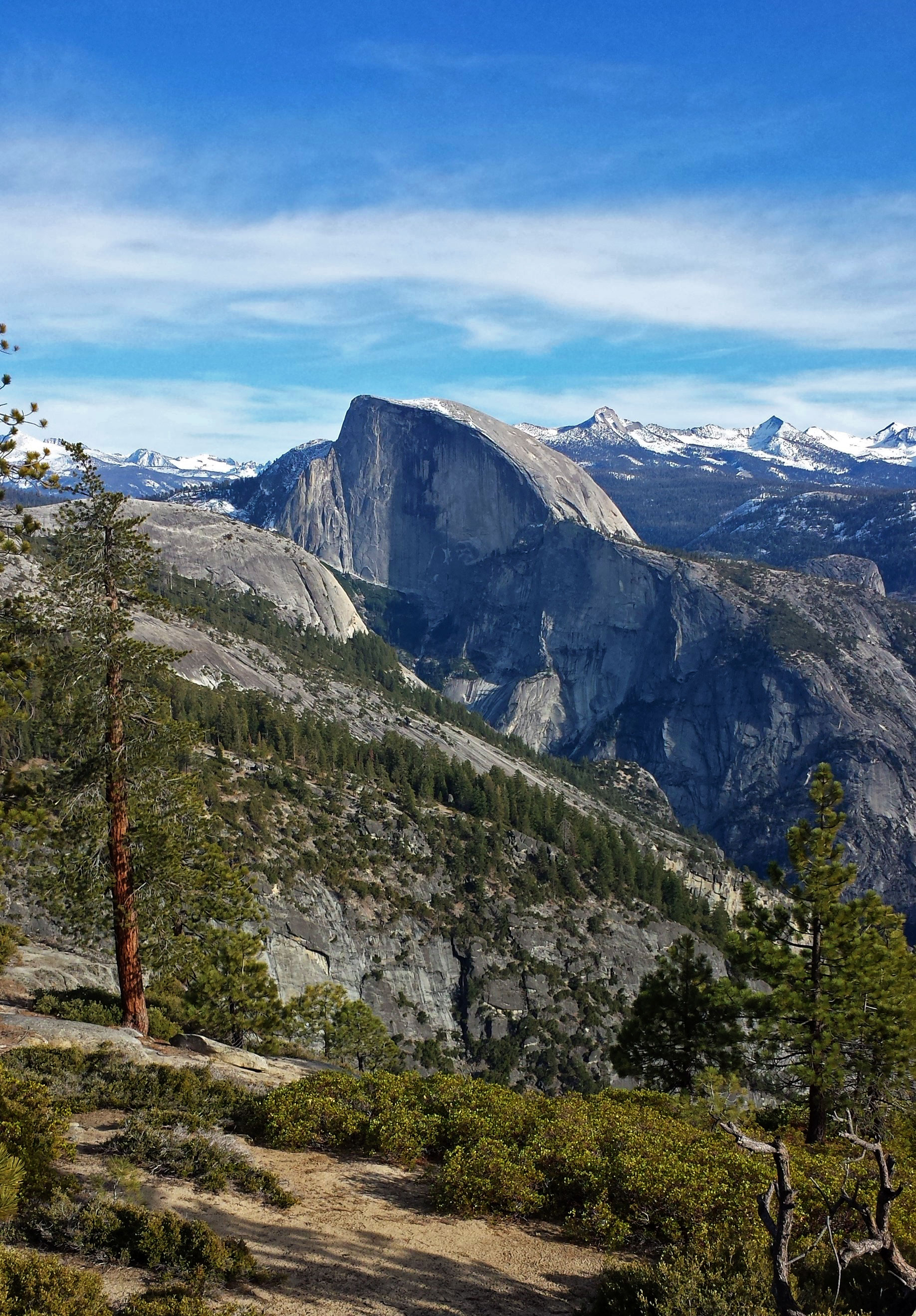
About the park
Not just a great valley, but a shrine to human foresight, the strength of granite, the power of glaciers, the persistence of life, and the tranquility of the High Sierra. First protected in 1864, Yosemite National Park is best known for its waterfalls, but within its nearly 1,200 square miles, you can find deep valleys, grand meadows, ancient giant sequoias, a vast wilderness area, and much more.
The Park Service's own description.
Weather, in the Park Service's words
Yosemite National Park covers nearly 1,200 square miles (3,100 square km) in the Sierra Nevada, with elevations ranging from about 2,000 feet (600 m) to 13,000 ft (4,000 m). Yosemite receives 95% of its precipitation between October and May (and over 75% between November and March). Most of Yosemite is blanketed in snow from about November through May. (Yosemite Valley can be rainy or snowy in any given winter storm.)
Getting there
You can drive to Yosemite year-round and enter via Highways 41, 140, and 120 from the west. Tioga Pass Entrance (via Highway 120 from the east) is closed from approximately November through late May or June. Hetch Hetchy is open all year but may close intermittently due to snow. Please note that GPS units do not always provide accurate directions to or within Yosemite.
Entrance fees
- Entrance - Private Vehicle: $35.00 · This fee is valid for seven consecutive days for a non-commercial car, pickup truck, RV, or van with 15 or fewer passenger seats. This fee covers the vehicle and everyone inside of it. Per-person nonresident fees still apply.
- Entrance - Motorcycle: $30.00 · Valid for 7 days. Admits up to 2 private, non-commercial motorcycles with up to 4 total passengers. Per-person nonresident fees still apply.
- Entrance - Per Person: $20.00 · This fee is valid for seven consecutive days for people entering on foot, a bicycle, a horse, or a non-commercial bus or van. People 15 years and younger are free.
- Entrance - Non-commercial Groups: $300.00 · The per-person fee is $20 to a maximum of $300 per vehicle. People 15 years and younger are free.
- Entrance - Education/Academic Groups: $0.00 · An educational fee waiver is available for educational and scientific groups that are accredited or tax-exempt for educational purposes planning a trip for educational or scientific purposes related to Yosemite that is not primarily recreational.
- Commercial Entrance - Per Person: $20.00 · The fee is $20 per person for any resident 16 years or older. For any nonresident the fee is $100 per person for anyone 16 years or older. This fee is valid for seven consecutive days.
The America the Beautiful annual pass covers entrance at every park; it does not cover camping.
Hours
Yosemite National Park is open 24 hours per day, 365 days per year.
Current alerts (2)
Park Closure · Tioga Road and Glacier Point Road are temporarily closed
Tioga Road (continuation of Highway 120 through the park) and Glacier Point Road are temporarily closed due to a forecast of snow. Call 209/372-0200 (then 1, 1) to check road conditions in the park.
Information · No overnight parking on Tioga & Glacier Point Roads
Overnight parking is not allowed on Tioga Road and Glacier Point Road, including all parking lots reachable from these roads.
Camp index at the park
Now 38°F, feels like 37°F; tonight's low about 17°F; UV 0.5.
- 38°F: cold; a 30°F bag and a pad with real insulation (R-value 3 or more)
- Tonight's low about 17°F, 0.2 mm of rain overnight: a 20°F bag or warmer
Winter Storm Watch
Winter Storm Watch issued November 15 at 11:19AM PST until November 20 at 4:00AM PST by NWS Hanford CA
Winter Weather Advisory
Winter Weather Advisory issued November 15 at 11:19AM PST until November 17 at 4:00AM PST by NWS Hanford CA
Forecast for the park's reference point; valleys and ridges differ by thousands of feet. How the index works →
Campgrounds in the park (16)
Around the park
Camp set up before "dark by" is the rule most people learn once. Source: sunrise-sunset.org.
- Yosemite Creek Campground · 3 mi · reservable on Recreation.gov
- Porcupine Flat Campground · 3 mi · reservable on Recreation.gov
- White Wolf Campground · 5 mi · reservable on Recreation.gov
- North Pines Campground · 7 mi · reservable on Recreation.gov
- Lower Pines Campground · 7 mi · reservable on Recreation.gov
- Upper Pines Campground · 8 mi · reservable on Recreation.gov
- Tuolumne Meadows Campground · 11 mi · reservable on Recreation.gov
- Tamarack Flat Campground · 12 mi · reservable on Recreation.gov
- Bridalveil Creek Campground · 13 mi · reservable on Recreation.gov
- DIMOND O · 17 mi · reservable on Recreation.gov
Recreation.gov (RIDB): national forests, parks, BLM and Corps of Engineers sites with camping. State parks book through the state; the near-you pages list the rest from OpenStreetMap.
| Gauge | Flow | Stage |
|---|---|---|
| TUOLUMNE R A GRAND CYN OF TUOLUMNE AB HETCH HETCHY 7 mi | 25.3 cfs | 7.15 ft |
| MERCED R A HAPPY ISLES BRIDGE NR YOSEMITE CA 8 mi | 24.1 cfs | 1.19 ft |
| MERCED R A POHONO BRIDGE NR YOSEMITE CA 11 mi | 34.6 cfs | 1.33 ft |
| TUOLUMNE R NR HETCH HETCHY CA 14 mi | 55 cfs | 2.93 ft |
| ELEANOR C NR HETCH HETCHY CA 20 mi | 6.21 cfs | 9.6 ft |
| CHERRY C BL VALLEY DAM NR HETCH HETCHY CA 21 mi | 6.55 cfs | 5.24 ft |
Discharge in cubic feet per second and gage height, from the USGS instantaneous-values service, usually within the hour. What a number means for wading or paddling depends on the river; the gauge page has the long-term median to compare against, and a sharp rise after rain is the sign to stay out.
Tents in the shop
All tents → Made in the USA






Park text, alerts, campgrounds and images are the National Park Service's (public domain), fetched through its API; weather from MET Norway, alerts from the NWS, air quality from the EPA, fires from the interagency WFIGS feed, rivers from the USGS, tides from NOAA. Trail & Lantern adds the camp index and nothing else; none of this is safety advice. Check with the ranger station before you go.