
National parks / Zion National Park
Zion National Park
National Park · UT · nps.gov →
About the park
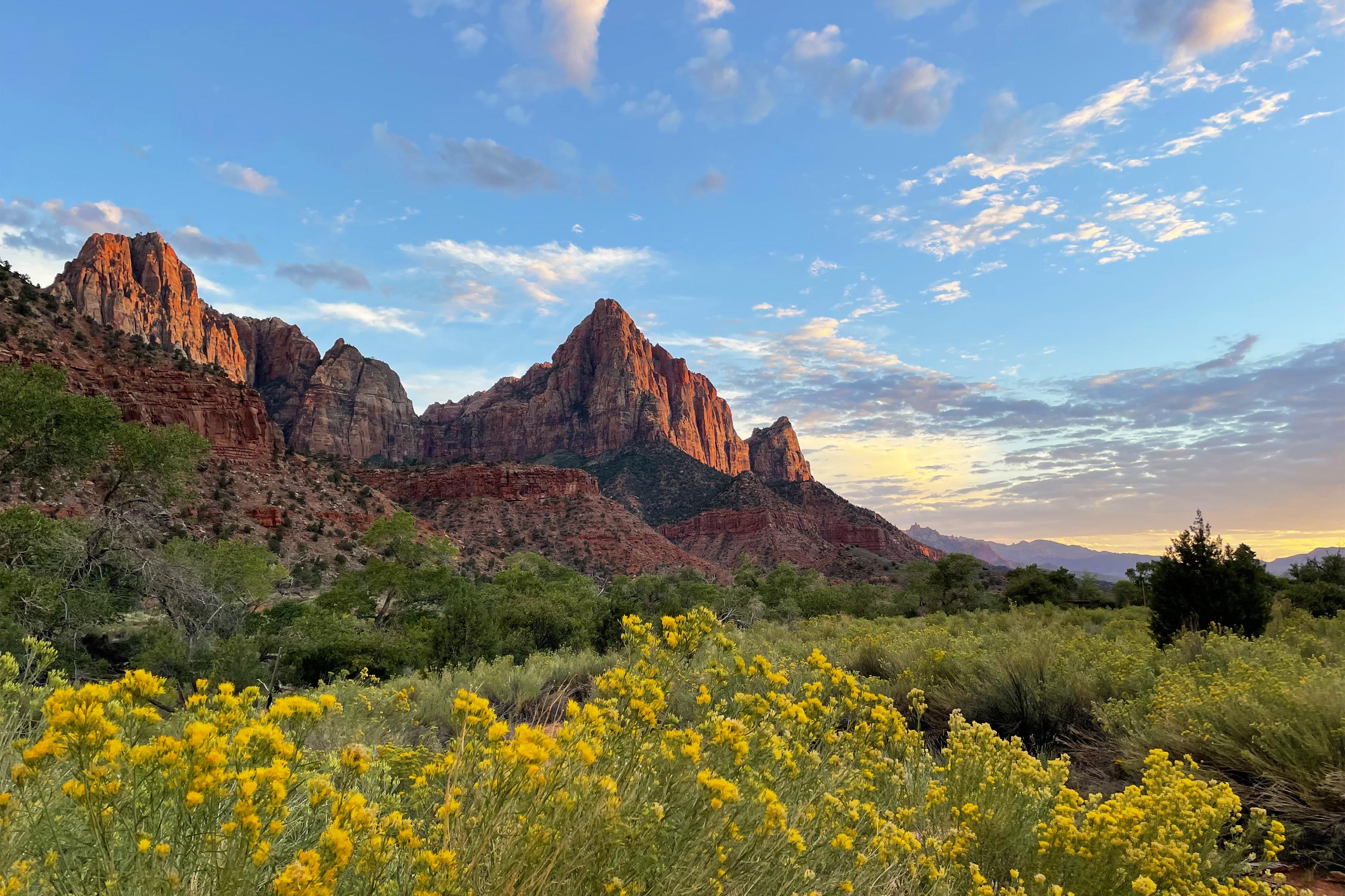
Follow the paths where people have walked for thousands of years. Gaze up at massive sandstone cliffs of cream, pink, and red that soar into a brilliant blue sky. Experience the tall, stretching walls of a narrow slot canyon. Zion’s unique array of plants and animals will enchant you as you absorb the rich history of the past and enjoy the excitement of present-day adventures.
The Park Service's own description.
Weather, in the Park Service's words
Zion is known for a wide range of weather conditions. Temperatures vary with changes in elevation and day/night temperatures may differ by over 30°F (16°C). In summer, temperatures in Zion National Park often exceed 100°F (38°C). Zion experiences monsoons from mid-July into September that result in an increased risk of flash floods. Always be aware of the threat of storms and lightning and be prepared for a wide range of weather conditions. Winters are generally mild.
Getting there
Zion National Park's South Entrance and administrative offices are located near Springdale, Utah. This area, called Zion Canyon, is where most campsites and popular hikes are located. Zion Canyon can also be accessed through the park's East Entrance, which is west of Mt. Carmel Junction, Utah. Once inside the park, Zion Canyon can be explored via the Zion Canyon Scenic Drive. For most of the year, the scenic drive is only open to shuttle busses. Board shuttles at the Zion Canyon Visitor Center.
Entrance fees
- Entrance - Private Vehicle: $35.00 · Admits private, non-commercial vehicle (15 passenger capacity or less) and all occupants to Zion National Park. Valid for 1-7 days.
- Entrance - Motorcycle: $30.00 · Valid for 7 days. Admits up to 2 private, non-commercial motorcycles with up to 4 total passengers.
- Entrance - Snowmobile: $20.00 · Admits one individual with no car to Zion National Park. Typically used for bicyclists, hikers and pedestrians. Youth 15 and under are admitted free. Valid for 1-7 days.
- Entrance - Per Person: $20.00 · Admits one individual with no car to Zion National Park. Typically used for bicyclists, hikers and pedestrians. Youth 15 and under are admitted free. Valid for 1-7 days.
- Entrance - Non-commercial Groups: $20.00 · $20 per person. Non-commercial vehicles with a capacity of 16 or greater. Fees will not exceed the commercial fee for the same-sized vehicle. Youth 15 and under are free. Individuals or families with any valid Annual or Lifetime pass may use their pass for entry at the per person rate. Pass and phot
- Commercial Entrance - Van: $70.00 · A commercial tour is defined as consisting of one or more persons traveling on an itinerary that has been packaged, priced, or sold for leisure or recreational purposes by an organization that realizes financial gain through the provision of the service. The entry fees of commercial tours are based
The America the Beautiful annual pass covers entrance at every park; it does not cover camping.
Hours
Zion National Park is open every day of the year.
Current alerts (7)
Park Closure · The Virgin River Narrows closed to top-down travel
The Virgin River Narrows is closed to top-down travel due to high water. The lower section of the Narrows from Big Spring down and canyons leading into this section are now open.
Information · Zion Mount Carmel Highway - Nightly Road Closures
Overnight tunnel closures are set for the tunnel on the Zion–Mount Carmel Highway (SR-9) inside Zion National Park starting Monday, Nov. 16 for fiber optic installation. See Utah Department of Transportation website for more information. more →
Park Closure · Watchman Trail closed
The Watchman Trail is closed pending repairs.
Caution · Large vehicle restrictions on Zion-Mt. Carmel Highway
Vehicles that exceed length, width, height, or weight limits cannot travel between Canyon Junction and the park's East Entrance. See the current limits on the page linked below. more →
Caution · Toxic cyanobacteria in rivers, streams, and pools
Do not submerge your head in or drink instream water in Zion National Park. more →
Information · Angels Landing Pilot Permit Program
All hikers need a permit to hike Angels Landing. Learn why you need a permit and how to get one using the link below. more →
Information · Please park legally and responsibly
Zion has limited parking. Once parking spaces in Zion are full, visitors should park in Springdale. Please park only in designated spaces. Vehicles parked outside of designated spaces are subject to citation and towing. more →
Camp index at the park
Now 50°F, feels like 50°F; tonight's low about 32°F; UV 0.2.
- Nothing in the forecast argues against a tent tonight
- Tonight's low about 32°F: a 30°F bag
Forecast for the park's reference point; valleys and ridges differ by thousands of feet. How the index works →
Campgrounds in the park (3)
Around the park
Camp set up before "dark by" is the rule most people learn once. Source: sunrise-sunset.org.
- WATCHMAN CAMPGROUND · 7 mi · reservable on Recreation.gov
- Eagle Crags Trail · 10 mi · first come, first served or not reservable online
- Orderville Gulch Trailhead · 11 mi · first come, first served or not reservable online
- Chamberlain's Ranch Trailhead · 12 mi · first come, first served or not reservable online
- Poverty Kiosk · 12 mi · first come, first served or not reservable online
- Jem Trail · 13 mi · first come, first served or not reservable online
- Cryptobiotic Trail · 13 mi · first come, first served or not reservable online
- Bowls and Ledges Trail · 13 mi · first come, first served or not reservable online
- Goosebumps Trail · 14 mi · first come, first served or not reservable online
- Canaan Mountain Trail · 15 mi · first come, first served or not reservable online
Recreation.gov (RIDB): national forests, parks, BLM and Corps of Engineers sites with camping. State parks book through the state; the near-you pages list the rest from OpenStreetMap.
| Gauge | Flow | Stage |
|---|---|---|
| NORTH FORK VIRGIN RIVER NEAR SPRINGDALE 7 mi | 137 cfs | 7.98 ft |
| EAST FORK VIRGIN RIVER NEAR SPRINGDALE 10 mi | 66.8 cfs | 6.04 ft |
| VIRGIN RIVER AT VIRGIN 11 mi | 267 cfs | 8.36 ft |
| VIRGIN RIVER AB LA VERKIN CREEK NR LA VERKIN 16 mi | 166 cfs | 11.8 ft |
| LEEDS CREEK NEAR LEEDS 19 mi | 16.5 cfs | 3.11 ft |
| VIRGIN RIVER AB QUAIL CREEK NEAR HURRICANE 19 mi | 305 cfs | 8.53 ft |
Discharge in cubic feet per second and gage height, from the USGS instantaneous-values service, usually within the hour. What a number means for wading or paddling depends on the river; the gauge page has the long-term median to compare against, and a sharp rise after rain is the sign to stay out.
Tents in the shop
All tents → Made in the USA






Park text, alerts, campgrounds and images are the National Park Service's (public domain), fetched through its API; weather from MET Norway, alerts from the NWS, air quality from the EPA, fires from the interagency WFIGS feed, rivers from the USGS, tides from NOAA. Trail & Lantern adds the camp index and nothing else; none of this is safety advice. Check with the ranger station before you go.